Mission accomplished. I have hiked Mount Whitney, reaching an elevation of 14,500 feet. The hike was 22 miles round trip, 7000 feet of total ascent, and took 15 hours, with one hour spent chillin on the summit. It was an incredible experience, and in the end, wasn’t too hard given the preparation that I put in. For the record, I do think that day hiking Kings Peak was at least as hard if not harder than Mt Whitney. Here are some pictures and the story of the hike.
First off, it’s really quite incredible that Mt Whitney is about 90 miles away from Badwater Basin in Death Valley. Badwater is 282 feet below sea level, while Mt Whitney is at 14,500 feet above sea level. That’s the lowest and highest points in the continental US all within an extremely short distance. Very interesting.
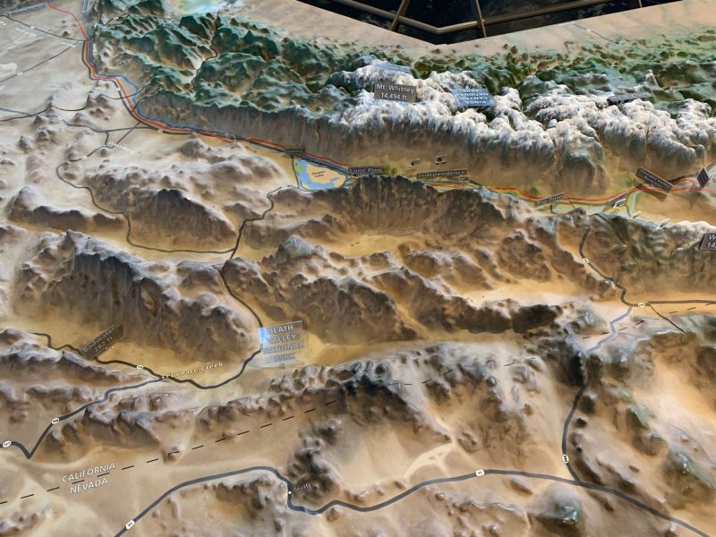
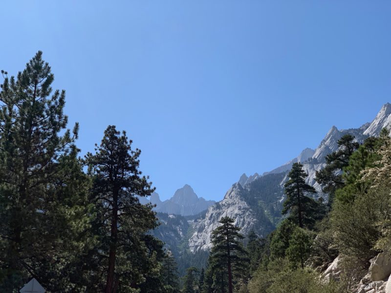
On the drive in. Our first glimpses of Mount Whitney.
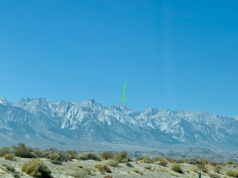
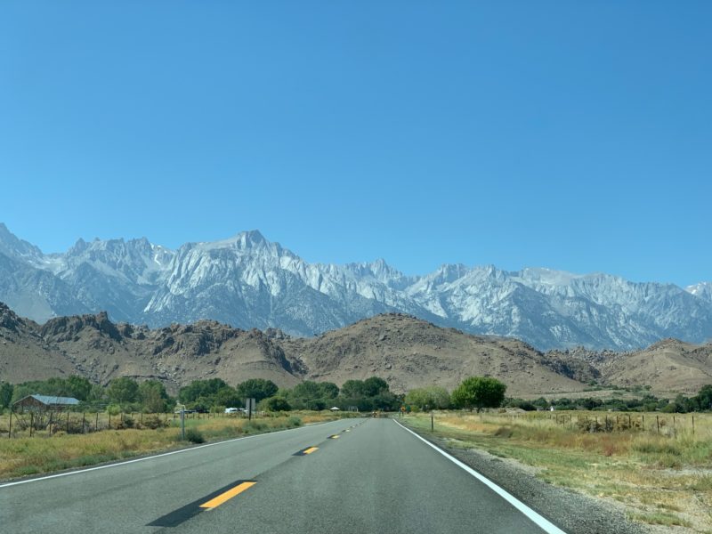
Getting closer, and the mountains were growing larger.
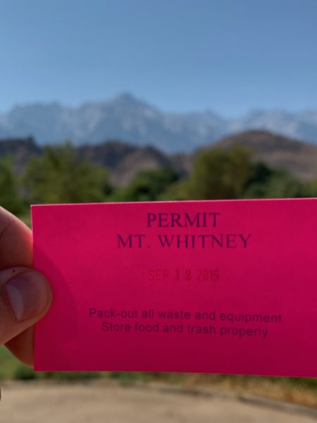
Hiking permit in hand. The permits are awarded on a lottery based system. We were lucky to score such great weather for our hike.
On the road up to Whitney portal.
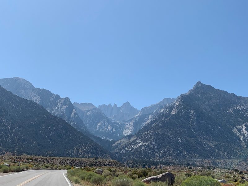
View from Whitney portal where we camped. We’ll be hiking all the way up to the top of that mountain the next day. For now, it’s time to set up camp and rest.
Zero dark thirty rollout. We could have started a little later, but due to all the excitement of finally being here, getting to bed early, time zone change, and and overall crummy time sleeping while camping, we decided to head out. Official start time, 3:20 am.
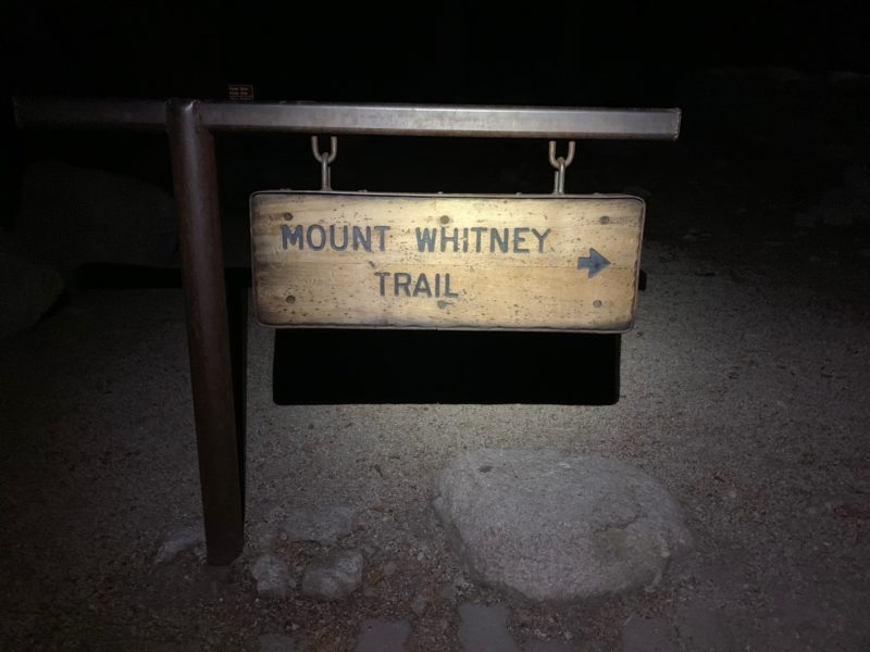
It was a gorgeous night. Perfectly calm, quiet, and peaceful. The stars were out in full force. If only I could have taken a picture of them! It was so neat to watch the pitch black night transition through twilight.
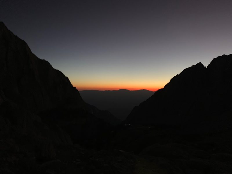
And then towards dawn as we continued to push up higher.
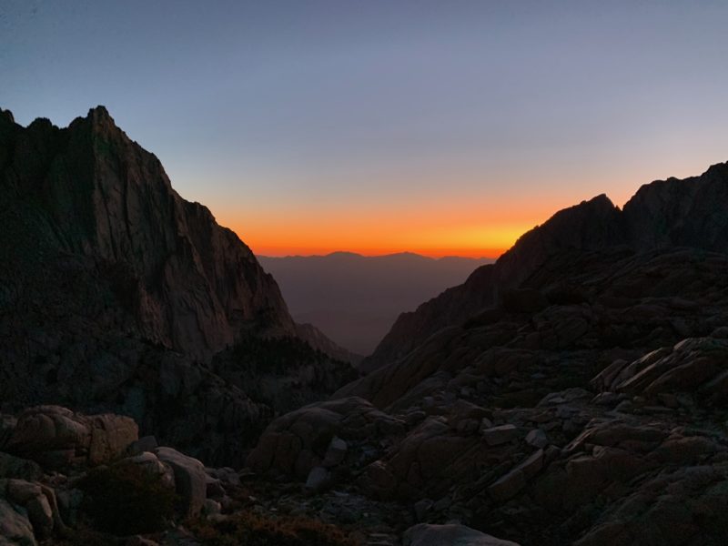
And then the sun burst through and illuminated the mountain peaks in splendid orange glow. This is my favorite time of the morning!
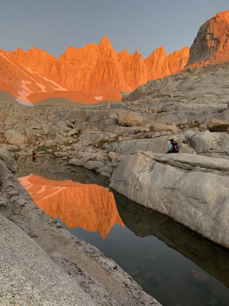
And soon, it was full on morning time when we reached Trail Camp. This was the last spot to get water before heading up the infamous 99 Switchbacks up to Trail Crest.
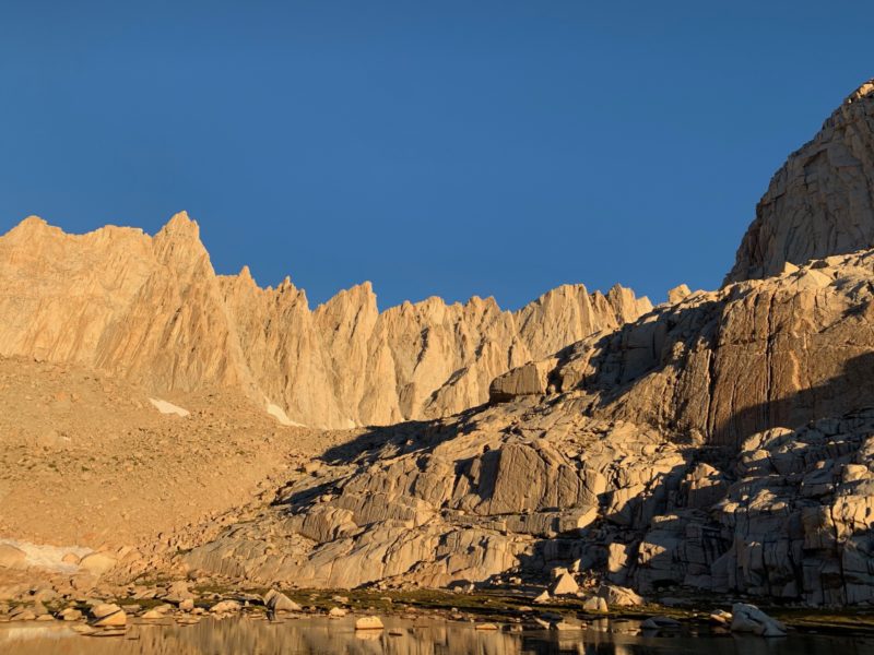
Beginning to push up the 99 switchbacks. The pond from the previous picture is down below.
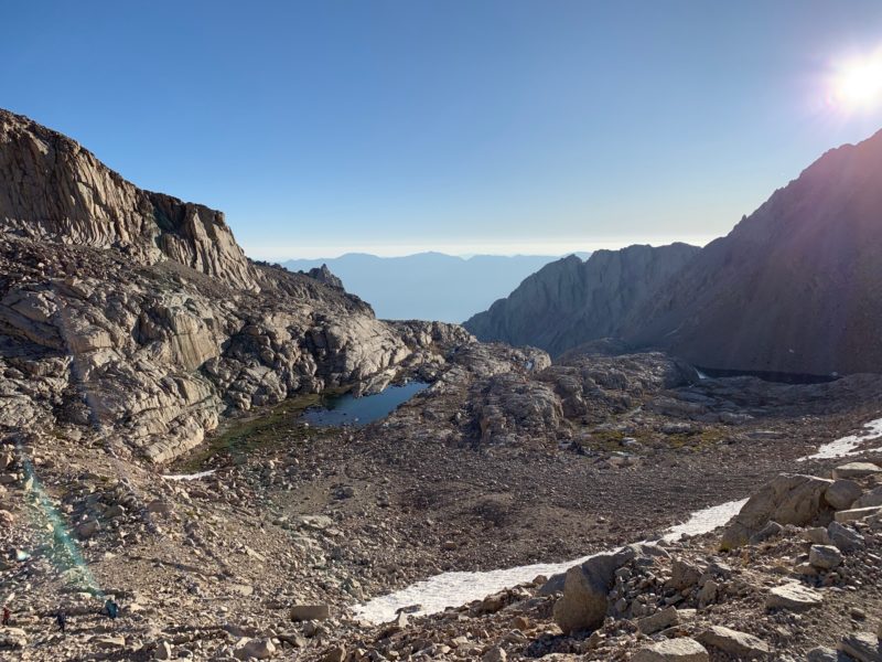
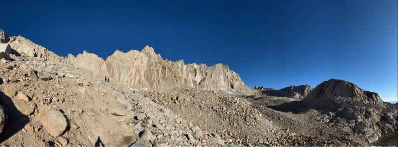
Ice on the trail.
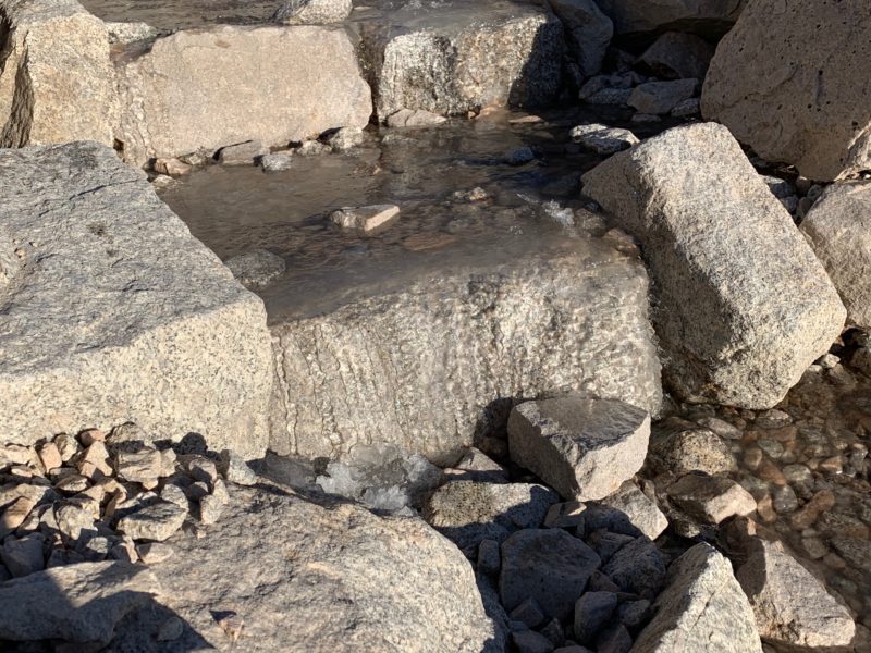
Pushing higher and higher. Almost to the pass.

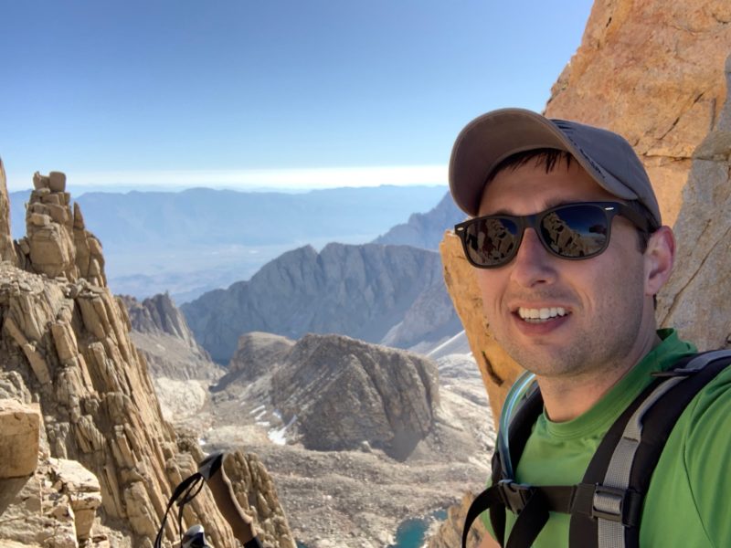
Proof that I was here 🙂
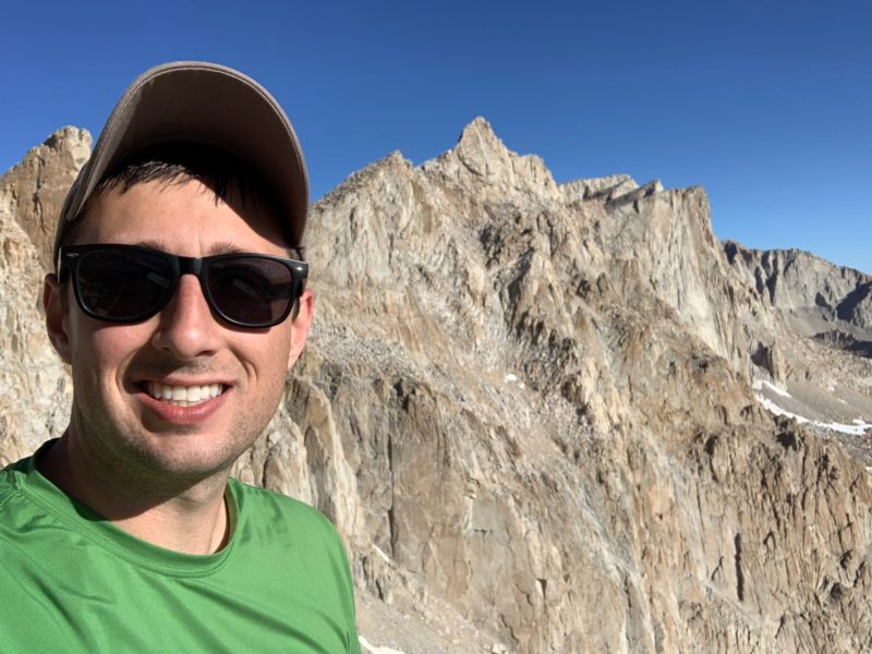
Trail Crest! Only 2 more miles to go! We hiked up the valley to the right of the picture, and now we cut along the backside of the mountains in the center of the picture.

This is what the trail looked like in many places along the backside of the Needles. It really wasn’t scary at all, but the picture is pretty gnarly.
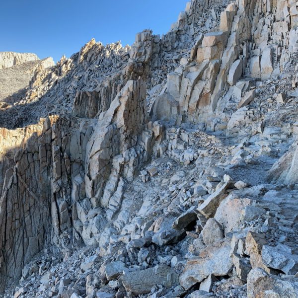
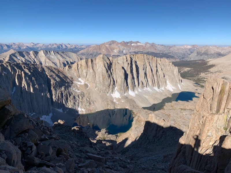
This was the view of the valley looking off to the left. Wow!
The trail came right up to the windows looking through many of the needles. When you got to one, you could see the valley that we hiked up through to get here.
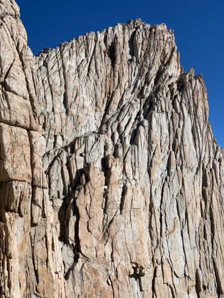
Rugged, leathery granite rock. Such interesting textures.
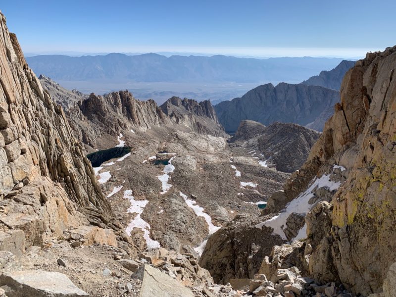
The view through another one of the needles.
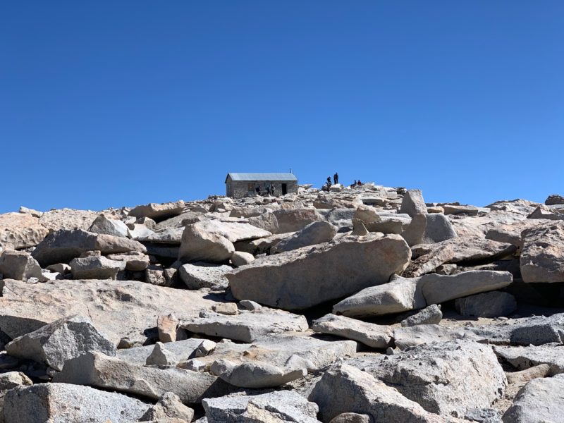
The final push is up the last rocky spine to the top of Mount Whitney. Finally the summit shelter came into view. The nice thing about this trail was there was absolutely no boulder hopping. They moved the boulders out of the way and had a nice path the whole way up. Compared to Kings Peak, this was pretty cushy.
Summit! 14,500 feet! I could definitely tell I was running on thin air. Everything took more effort and I had to move a little slower. I felt good though.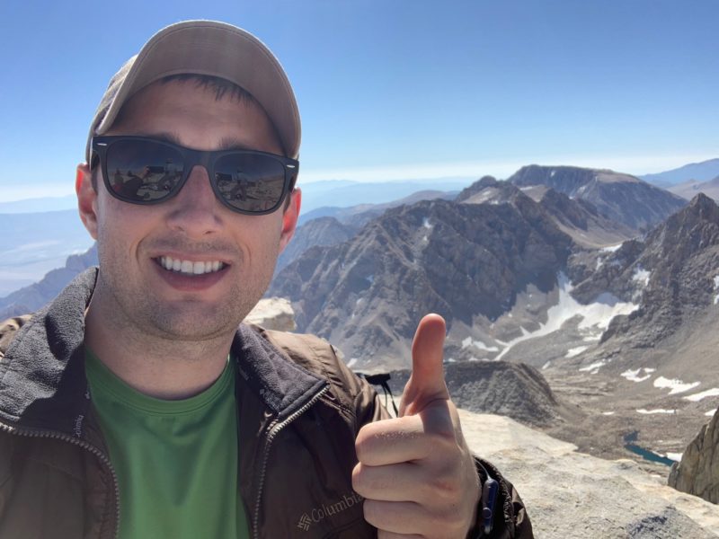
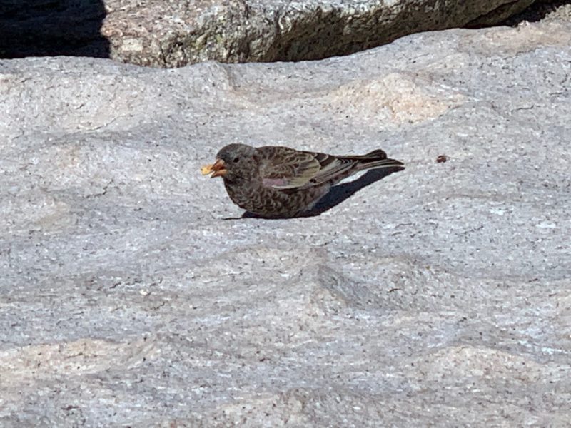
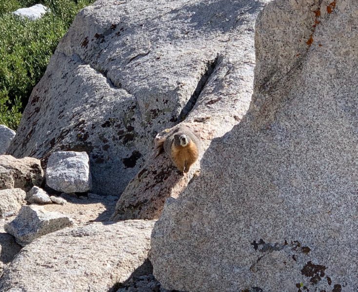
This little guy at the very top was pretty fat. He helps to keep the place clean.
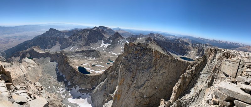
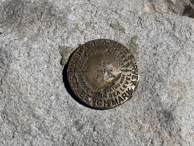
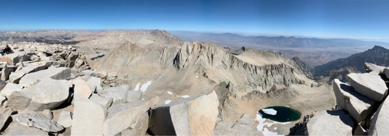
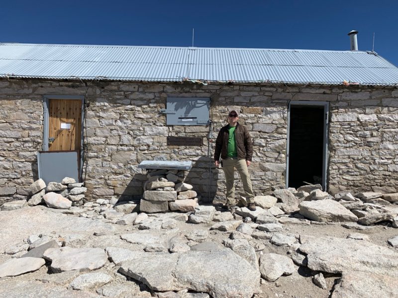
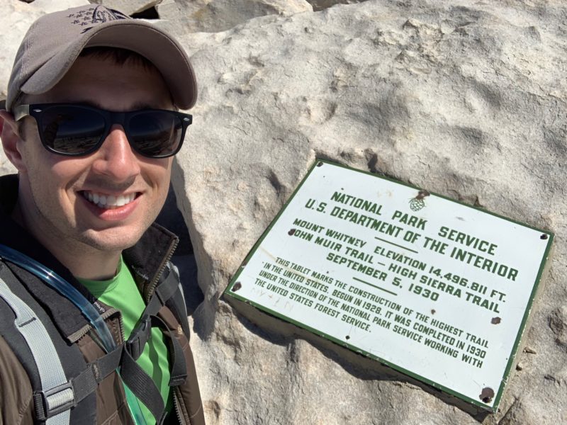
After a nice long break, it was time to head back down. I got to see some things from a different vantage point which was fun.
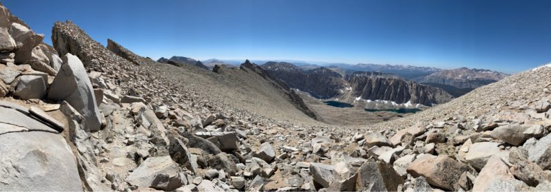
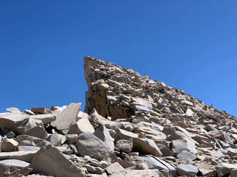
Pride Rock
Heading back down the 99 switchbacks.
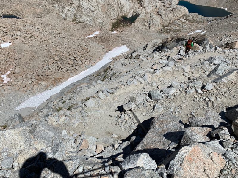
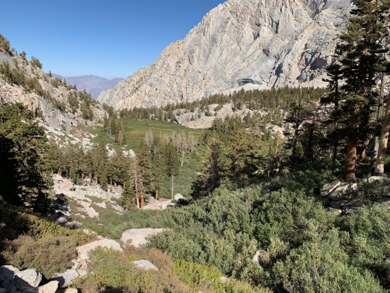
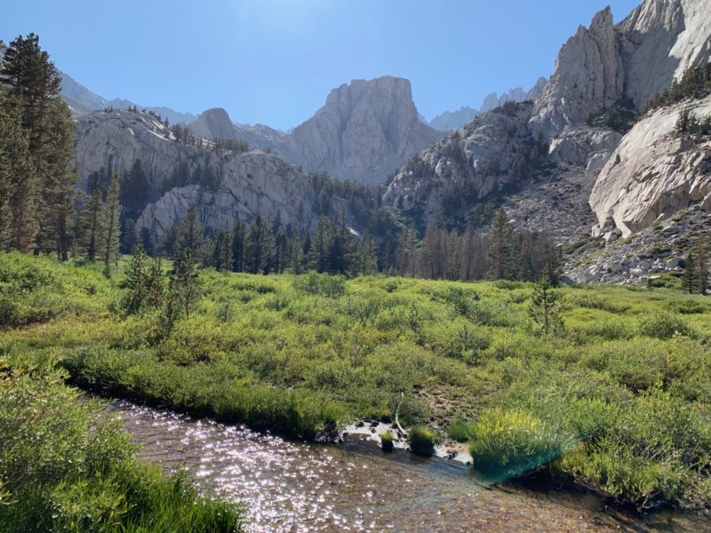
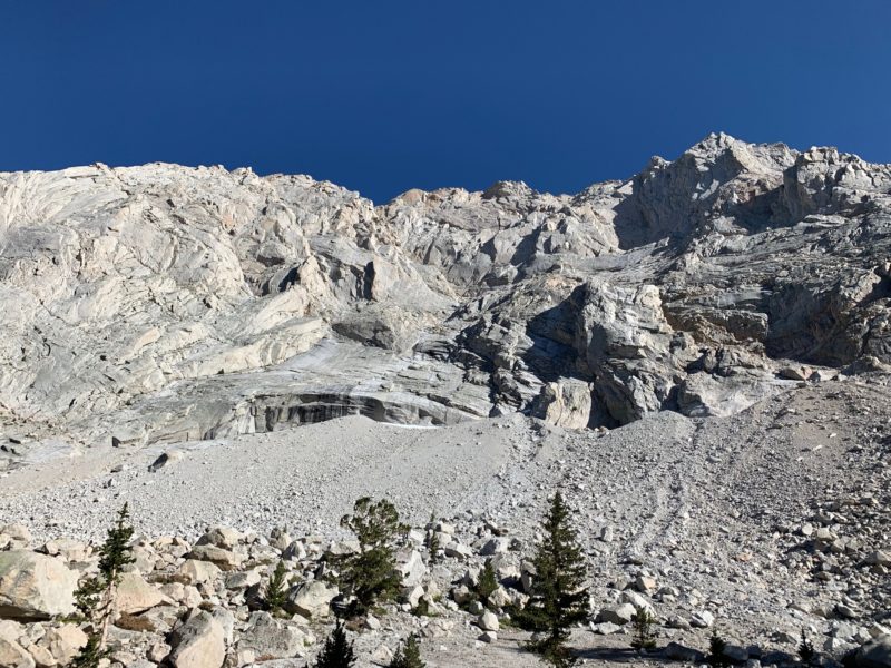
From Trail Camp and below, we were seeing everything for the first time. On the way up, we were hiking in the dark.
Marmot
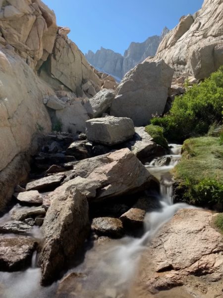
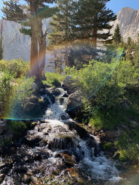
On the way up, we could hear lots of streams and waterfalls, so it was great to get to see them.
Where did a giant meadow come from. This is great!
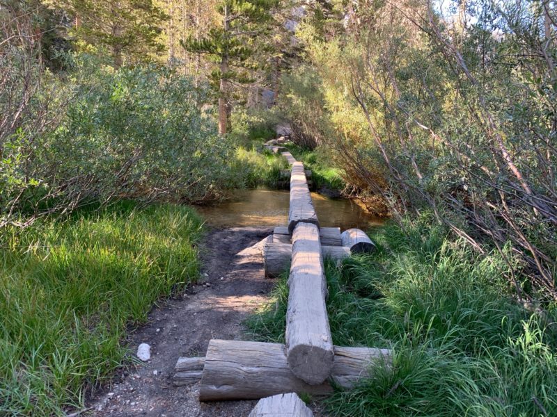
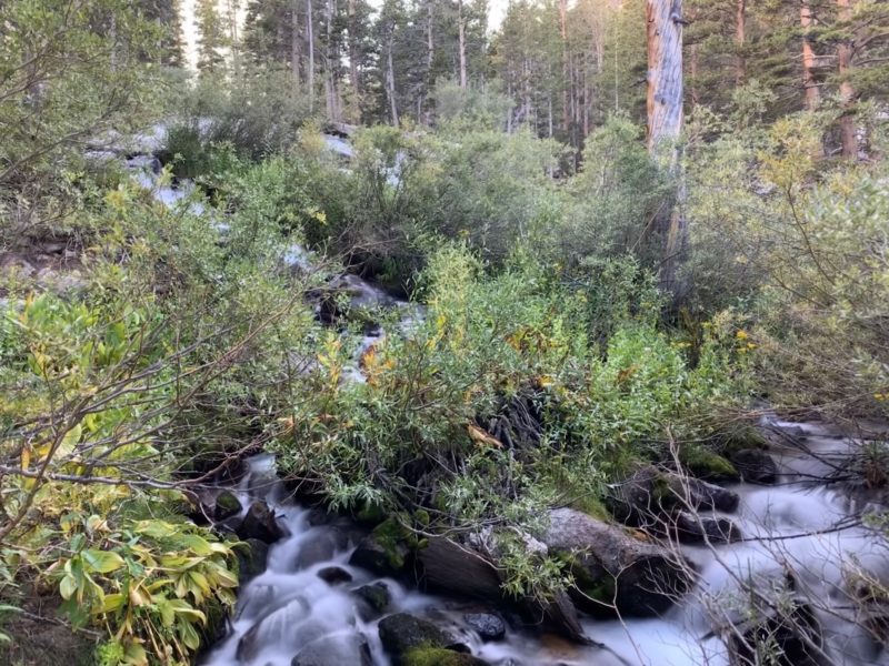
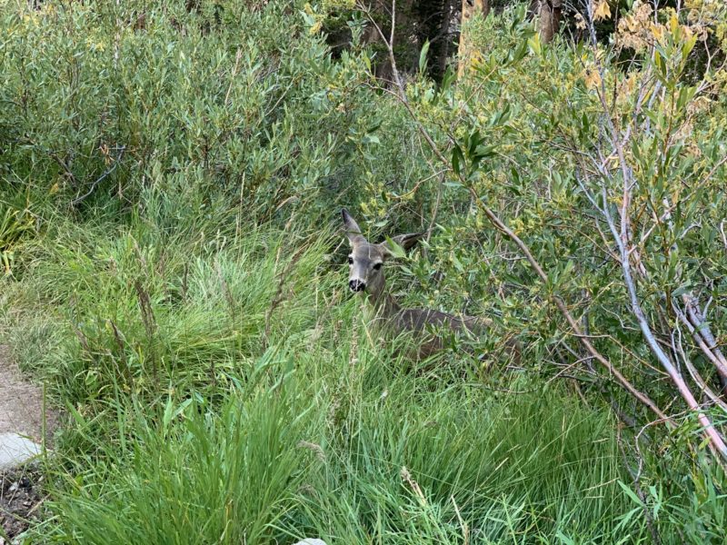
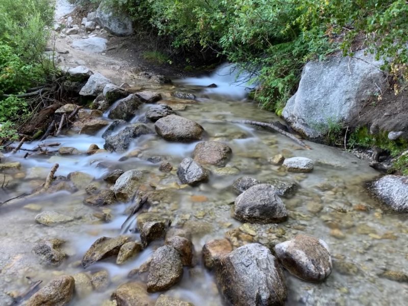
Back at the beginning. Mission accomplished!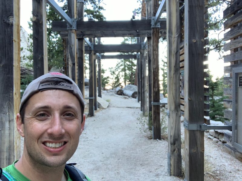
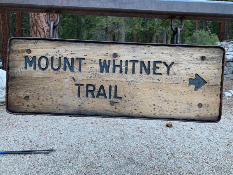
Been there!
Thank you to Clayton for winning the lottery, and to Chris for driving, and for Richard and AJ for letting me join the team! This was an incredible experience!
