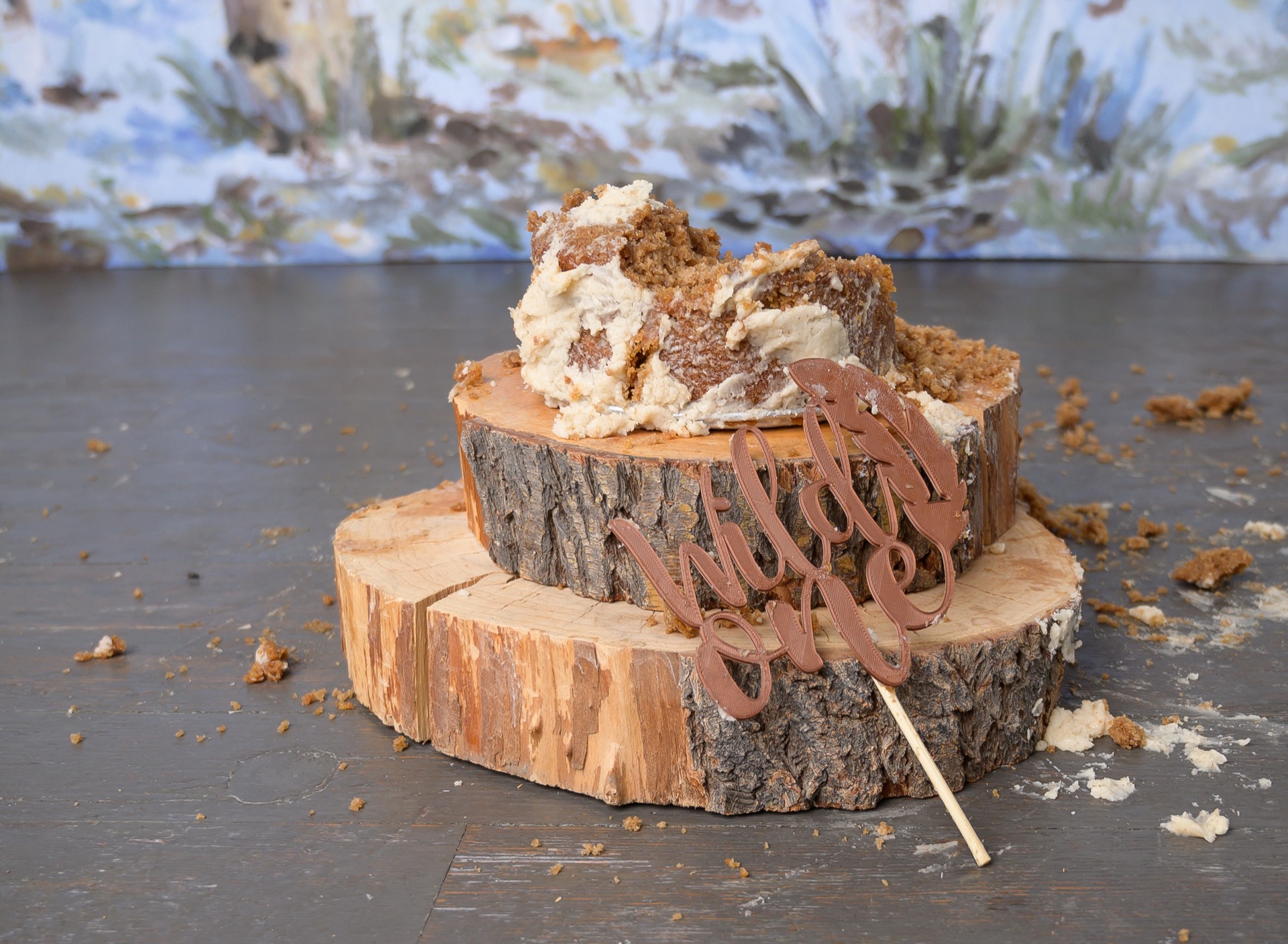
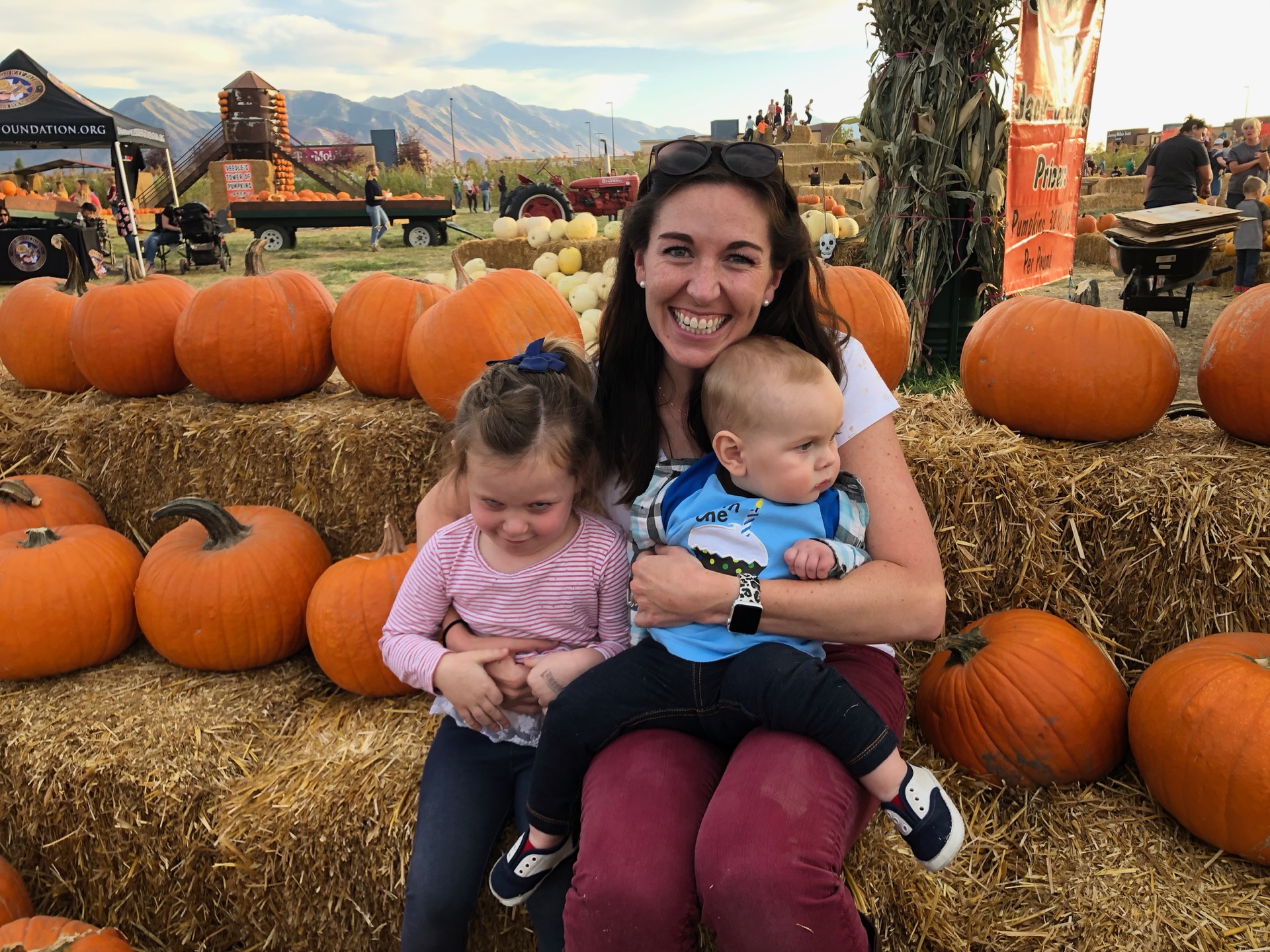
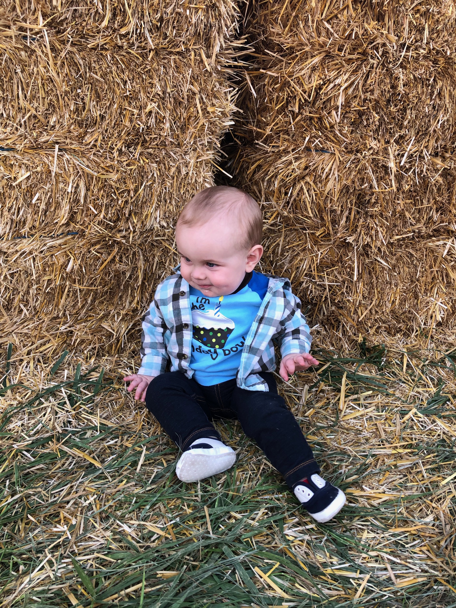
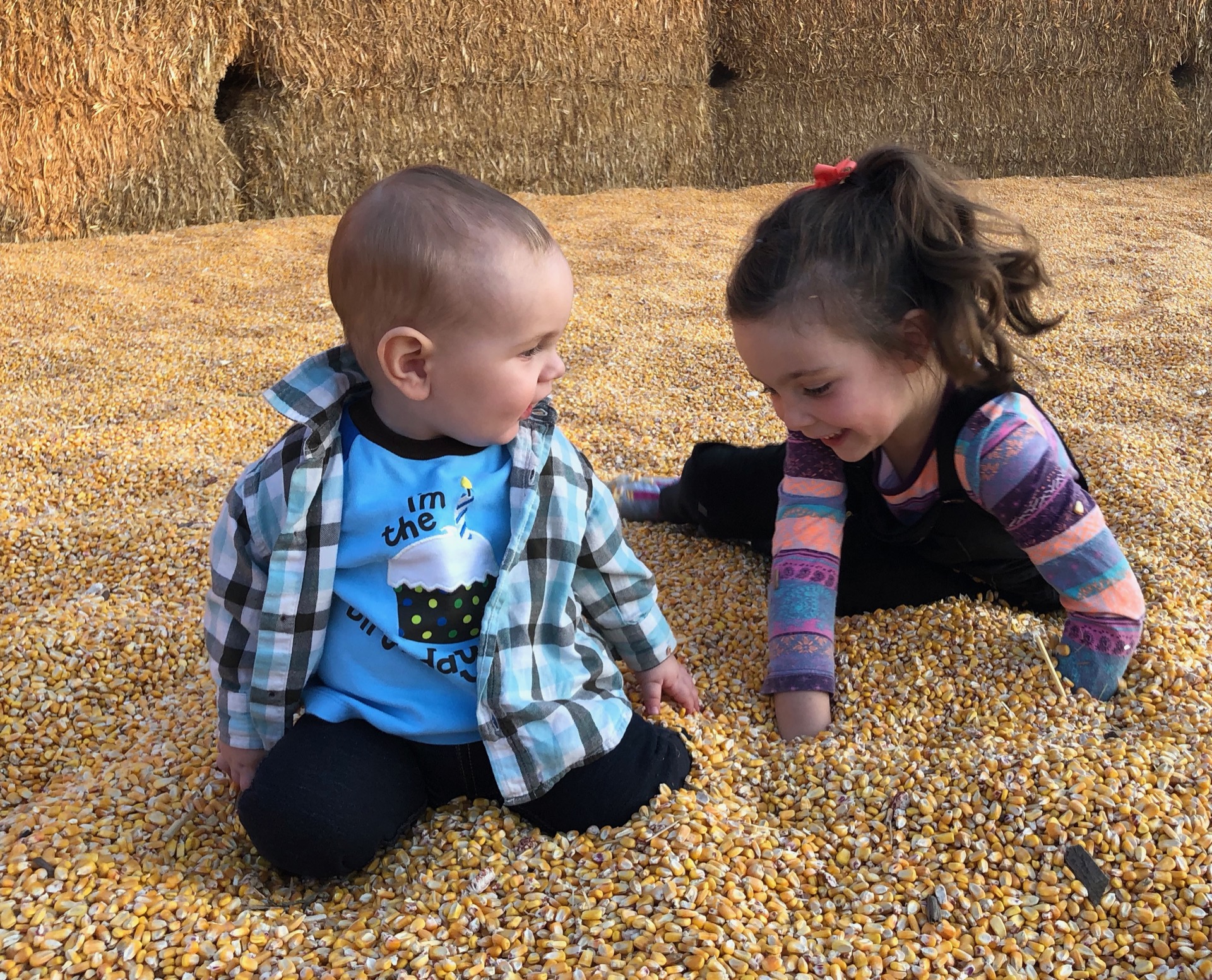
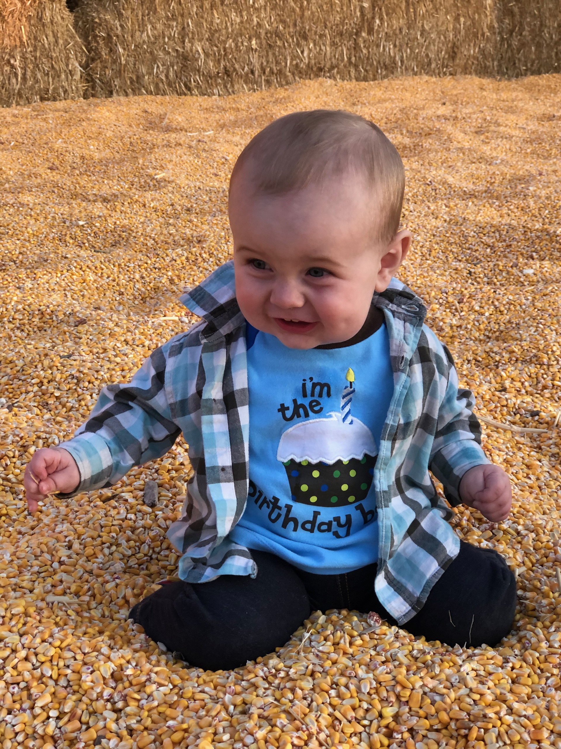
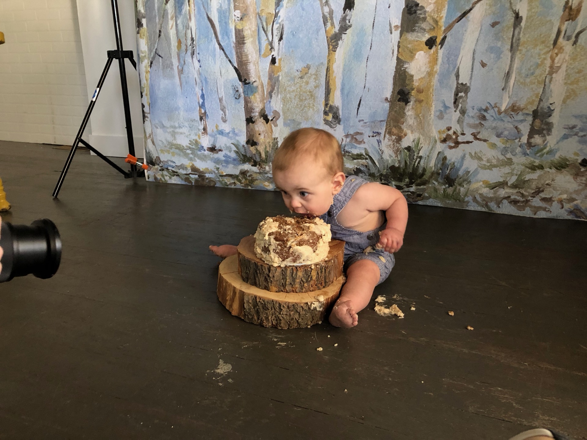
Landon Cake Smash
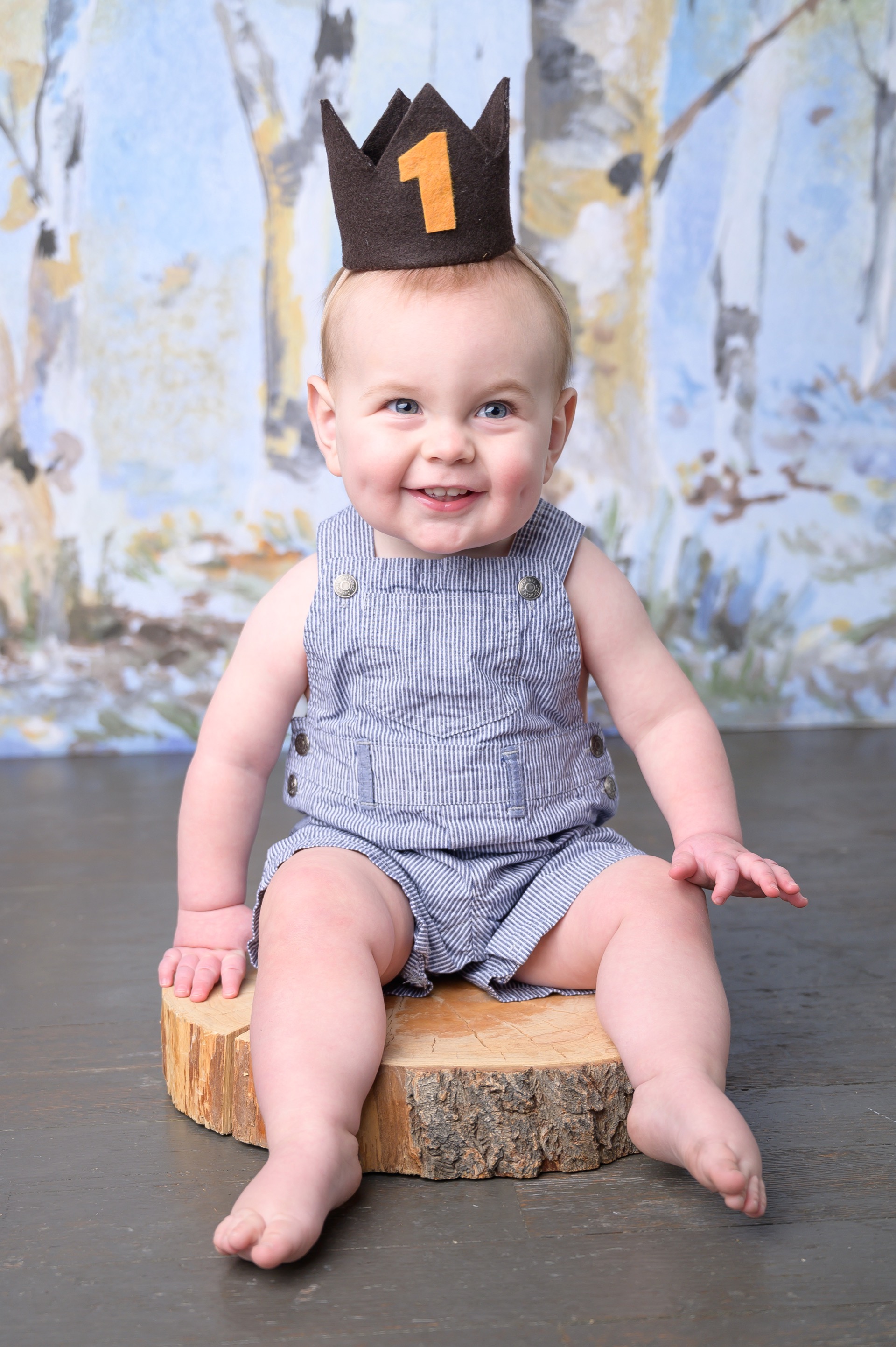
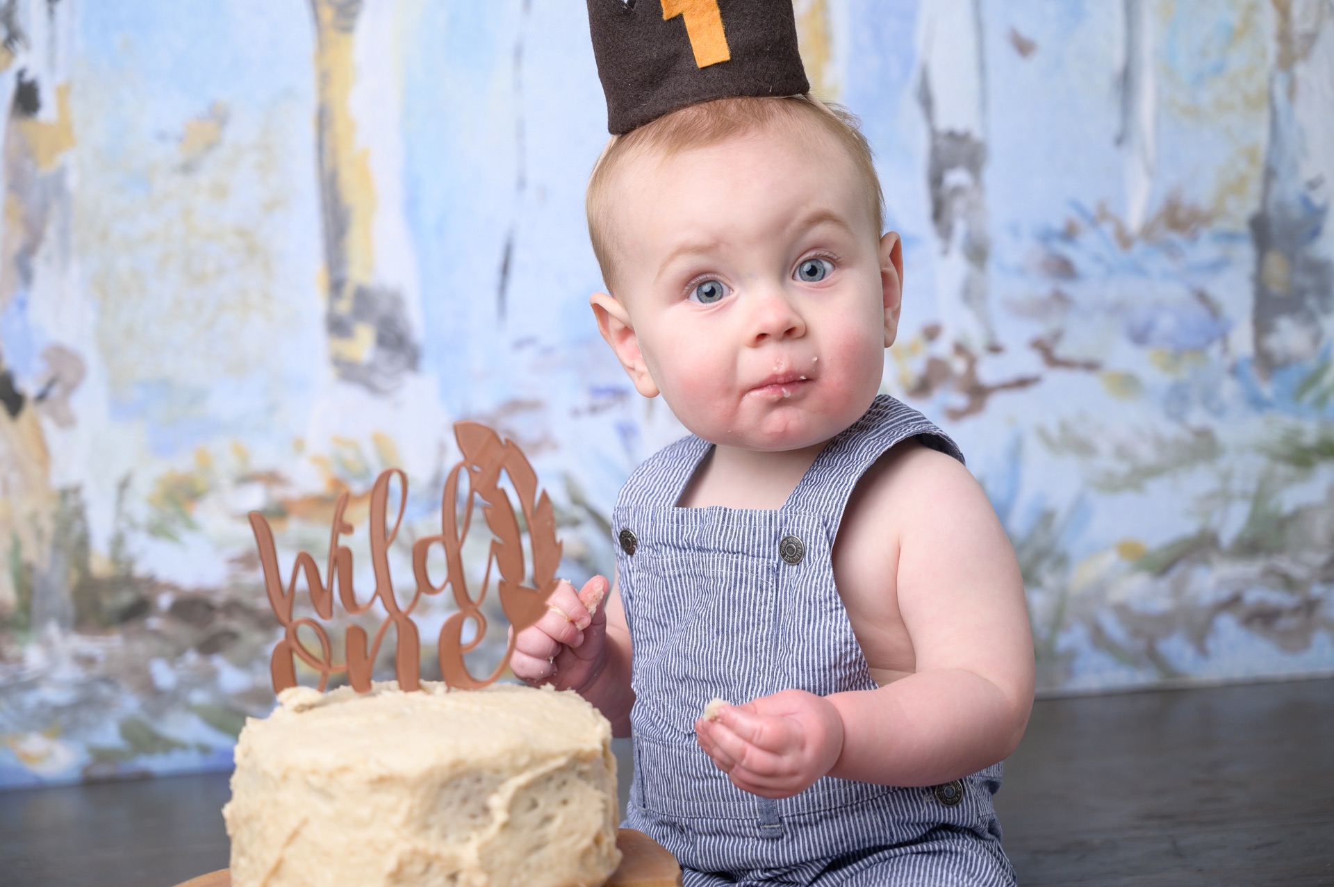
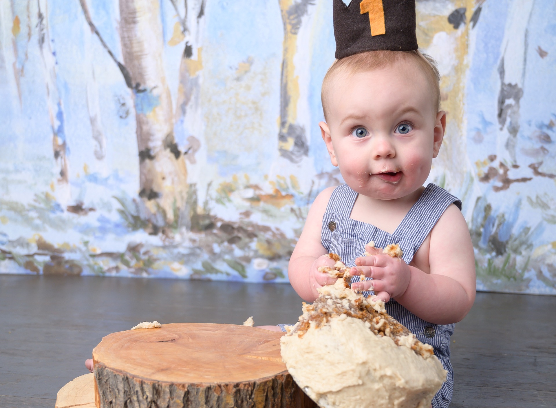
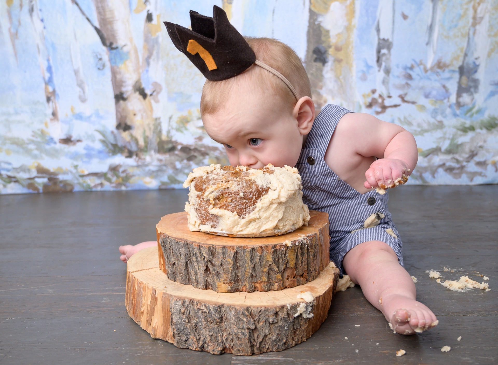
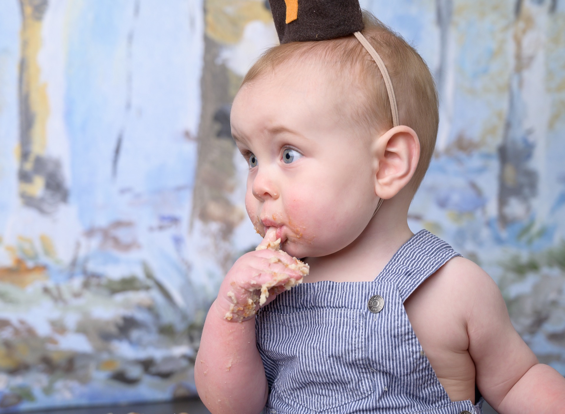

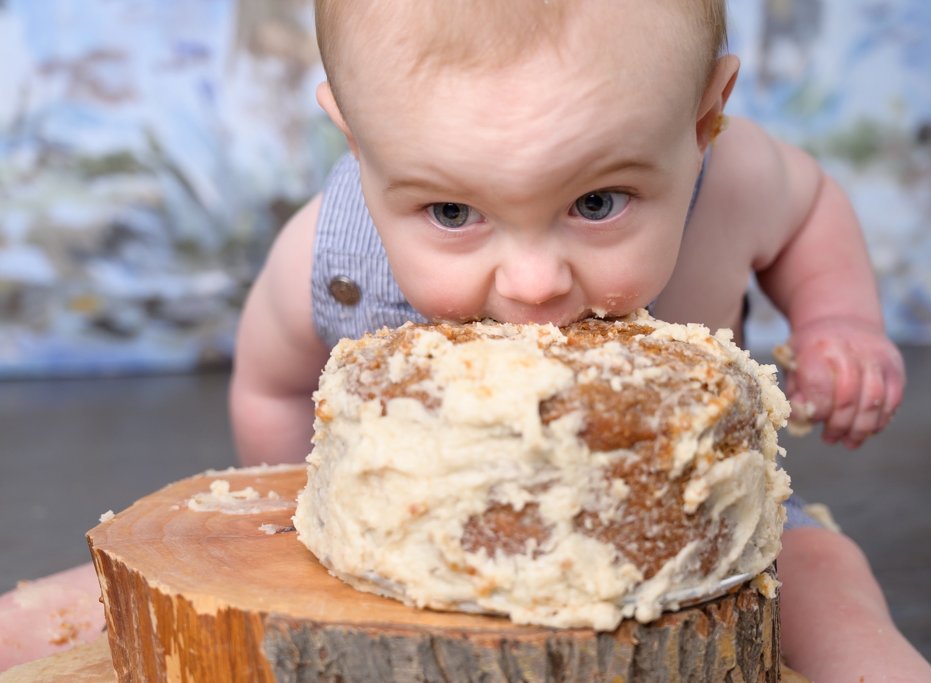
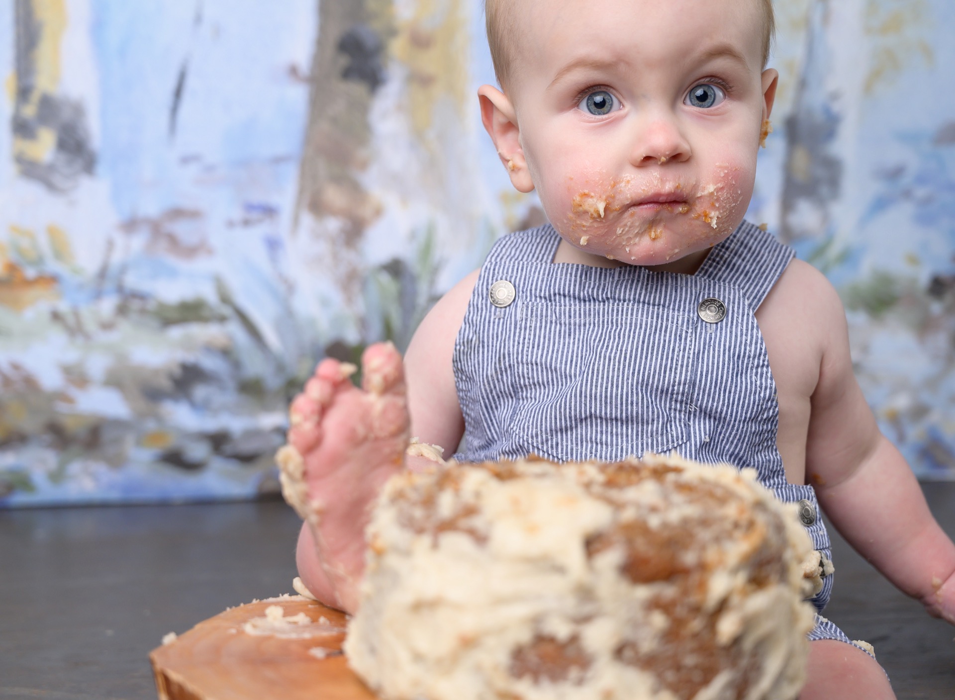
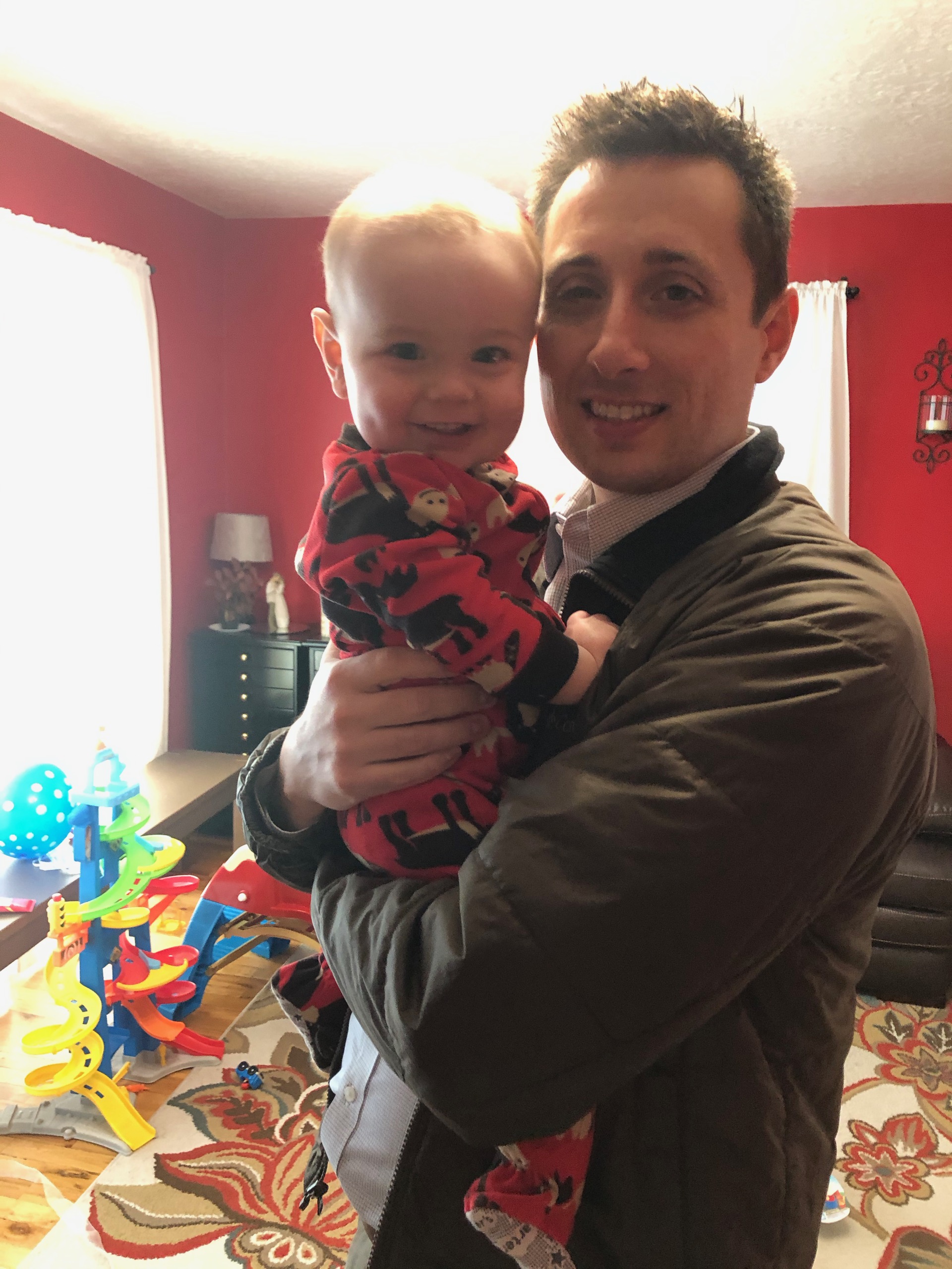
Birthday Boy
Our little guy is growing up so fast. I can’t believe he’s already ONE year old!
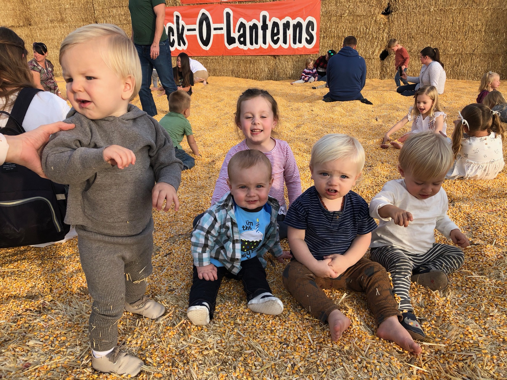
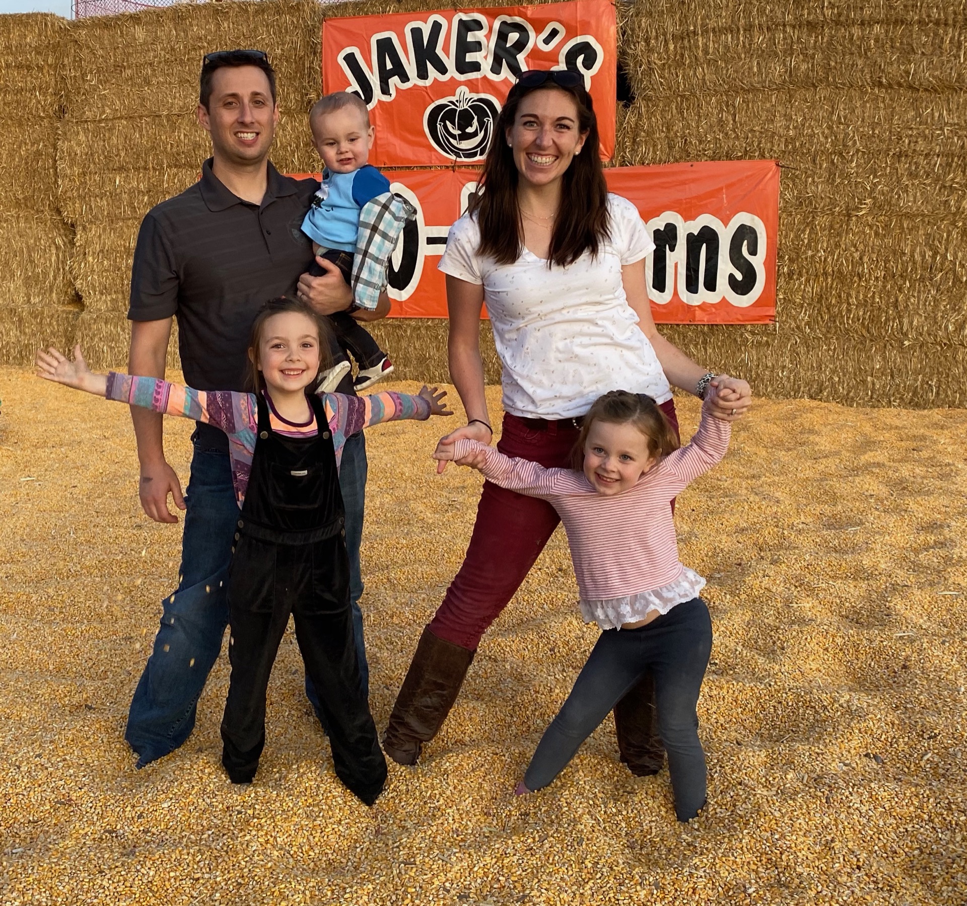
We had a birthday party for him at Jakers Pumpkin Patch in Springville. So nice of family and friends to come join.
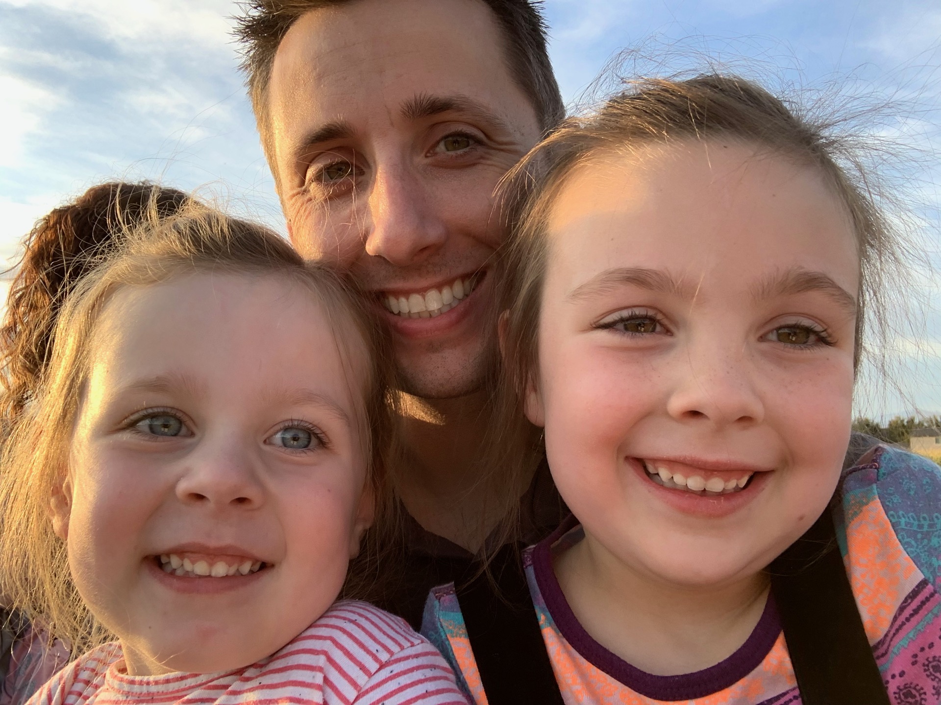
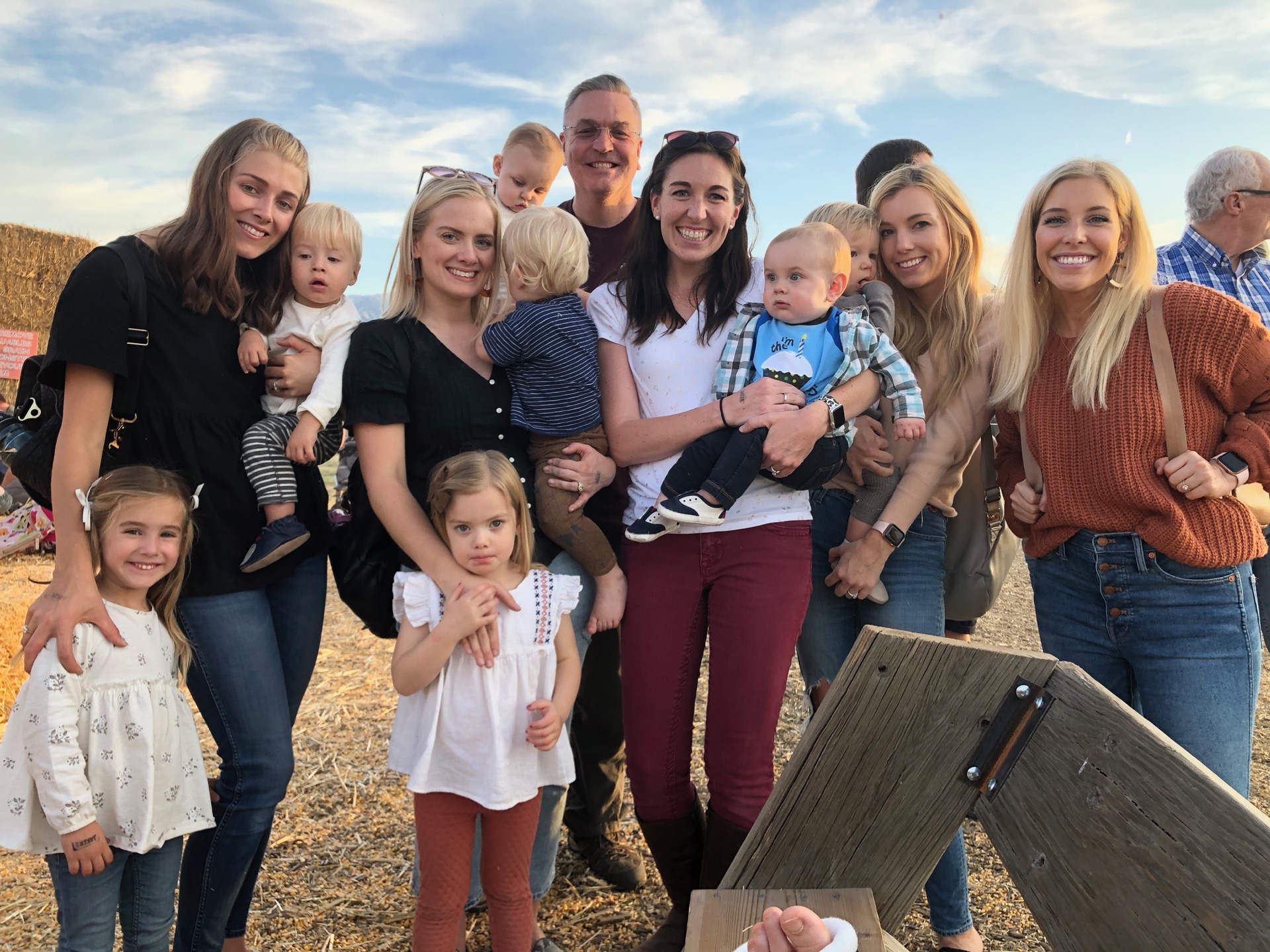
I love all the mom hands 🙂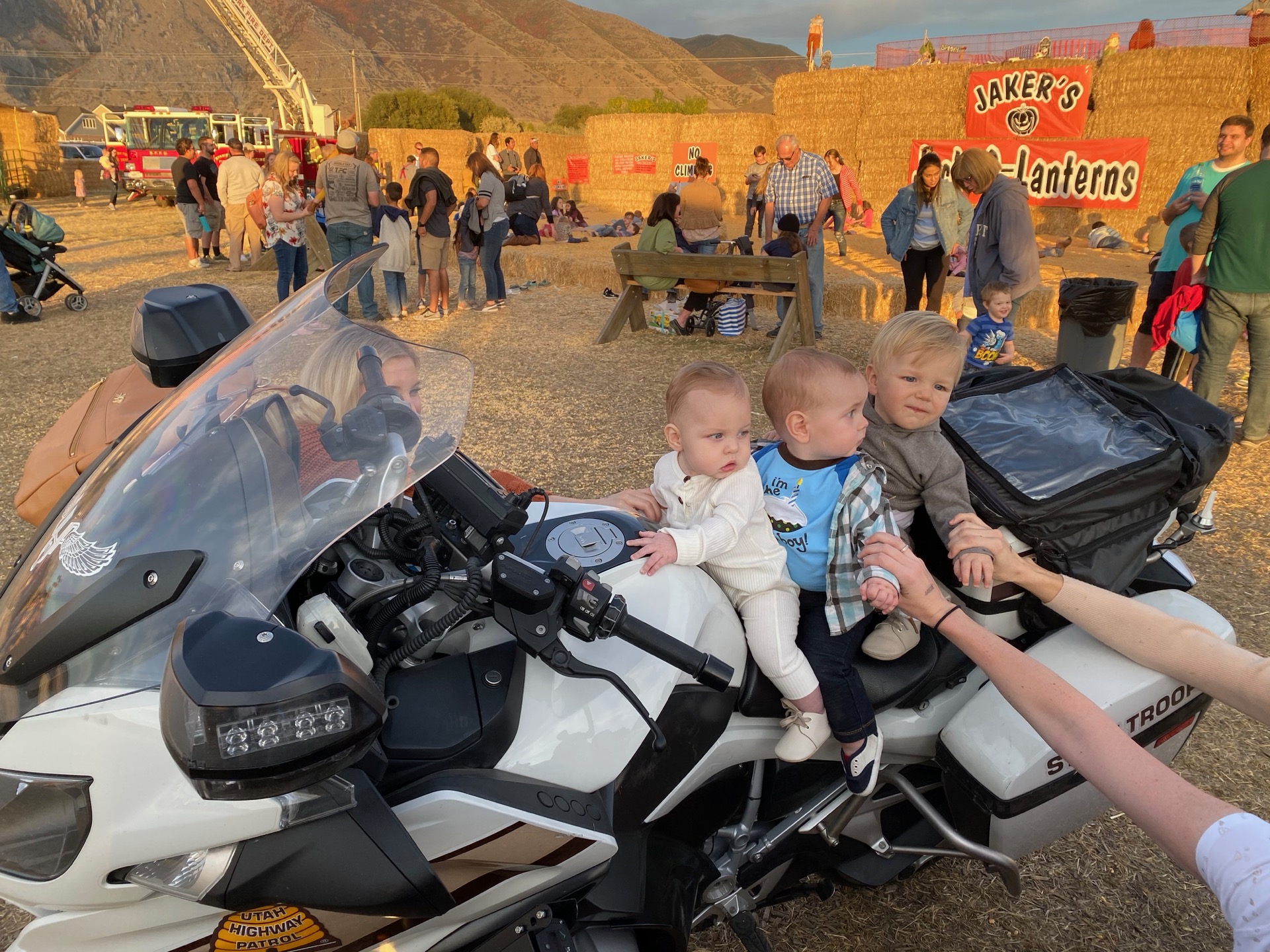
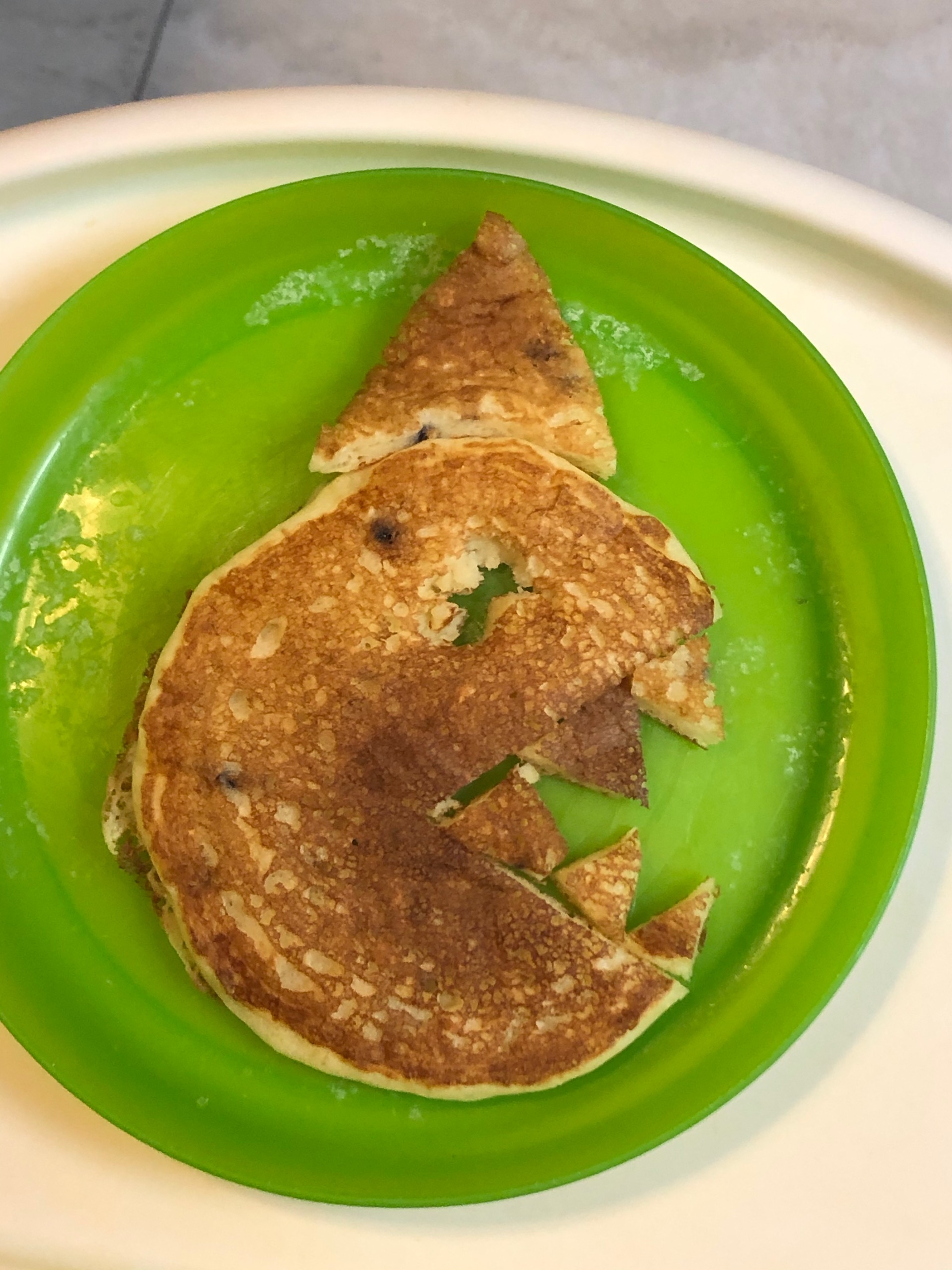
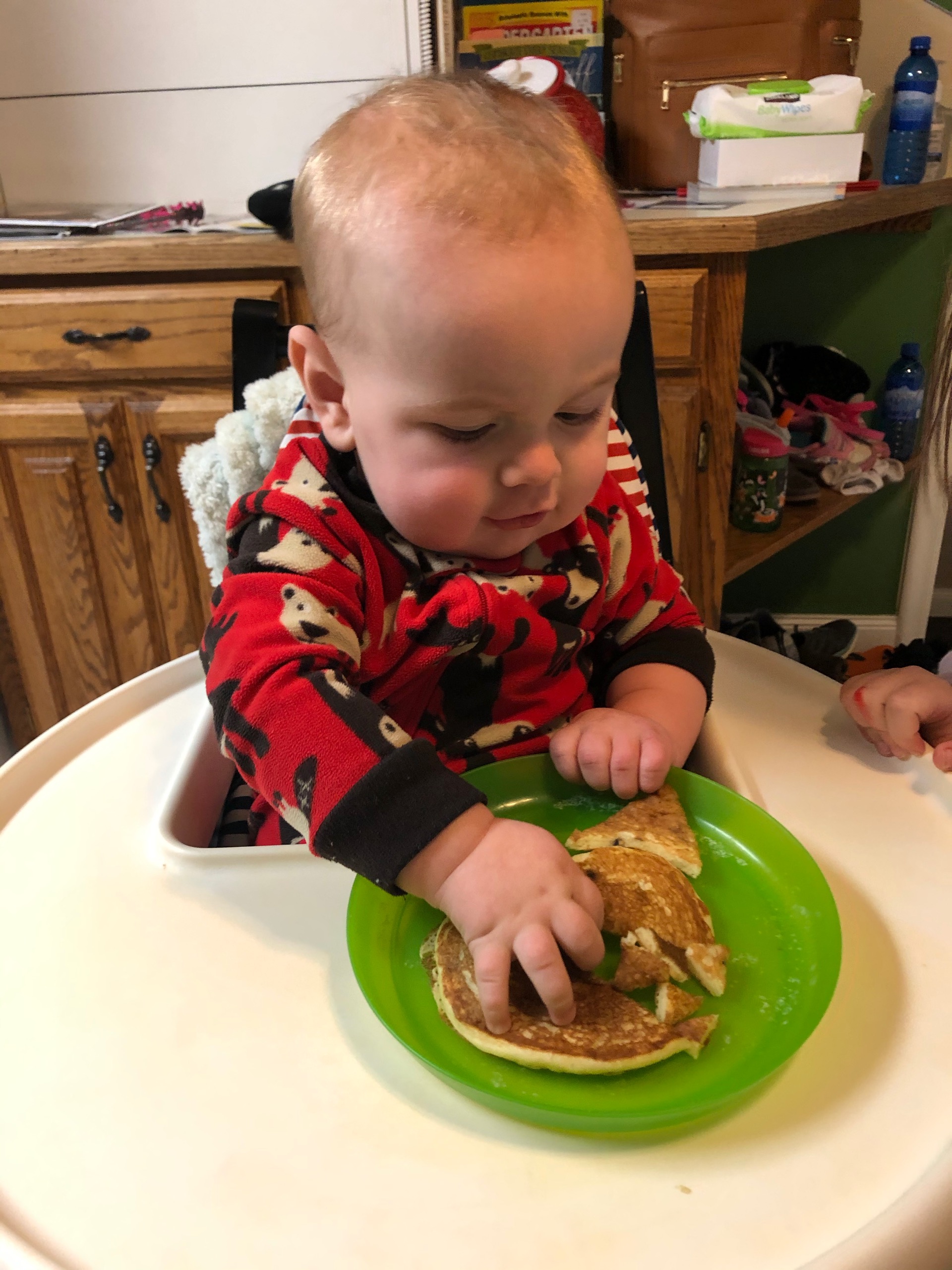
Birthday breakfast. This little guy is our wild thing, so we made him a wild pancake.
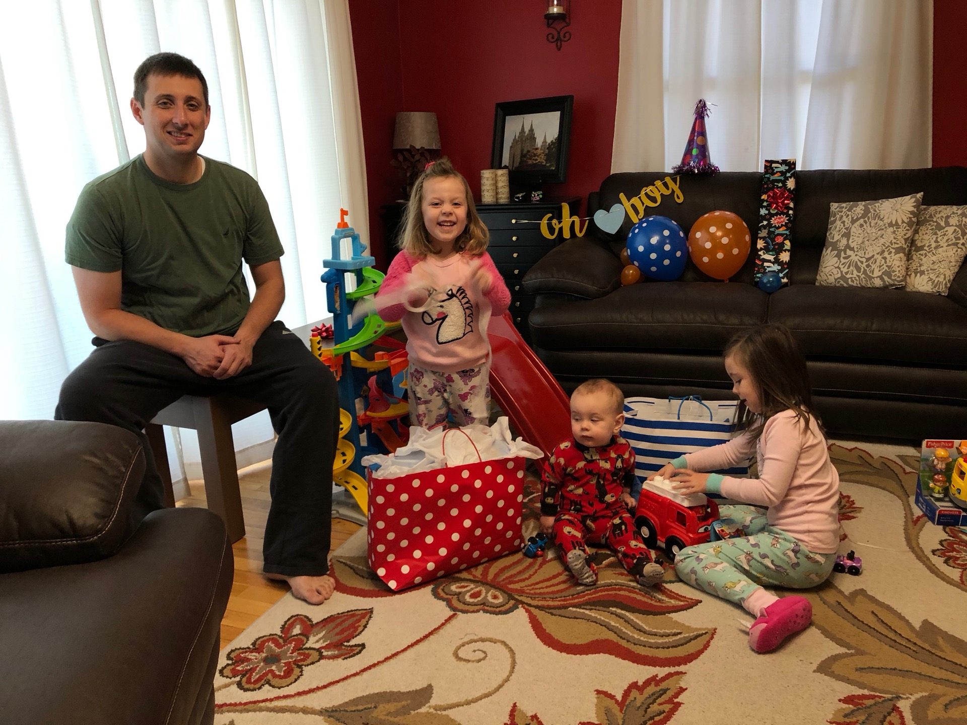
Opening presents. The girls were pleased with his (their) haul.
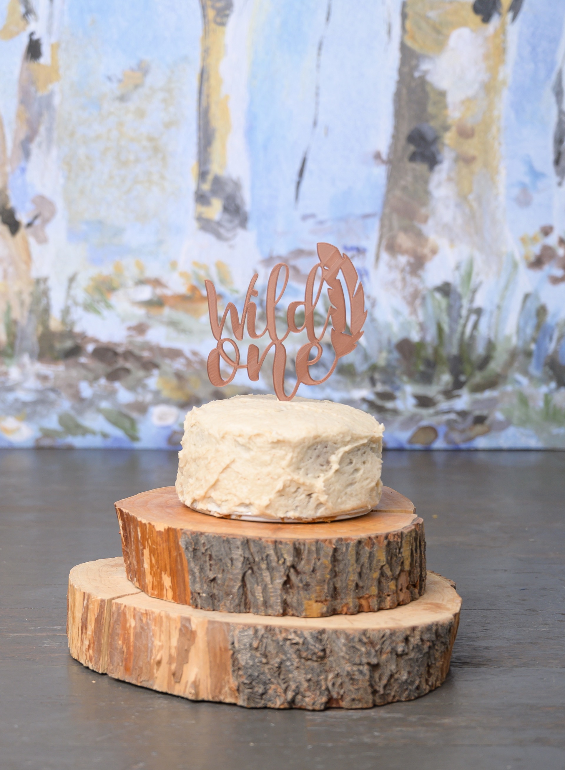
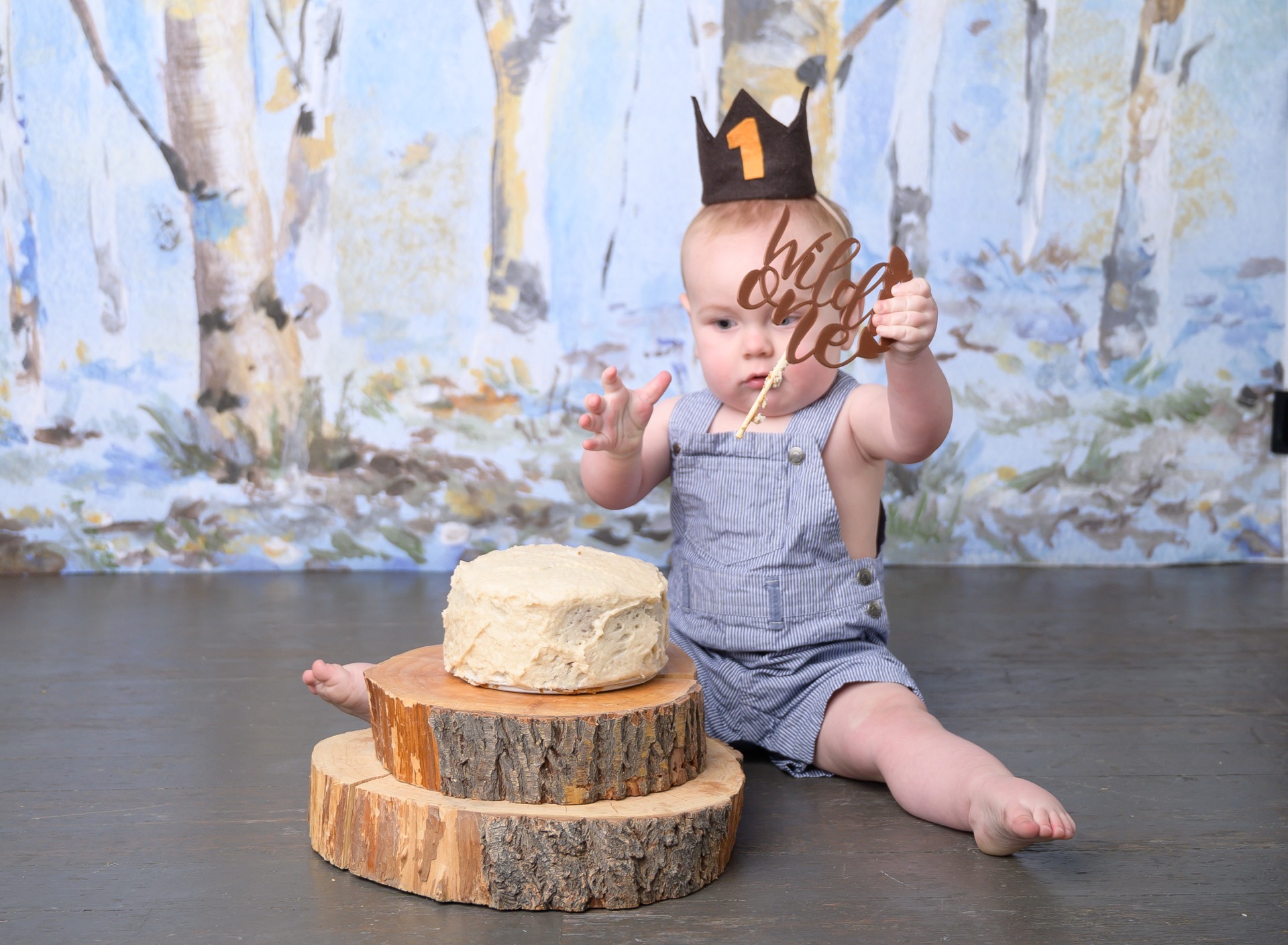
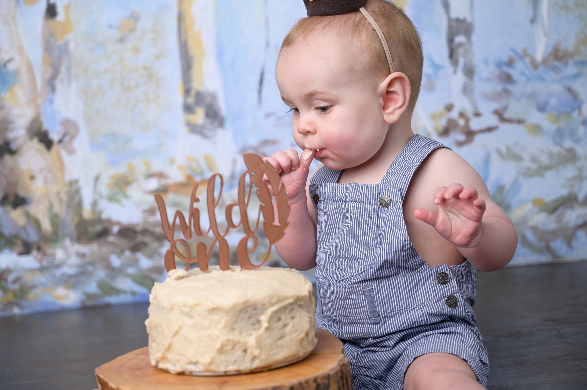
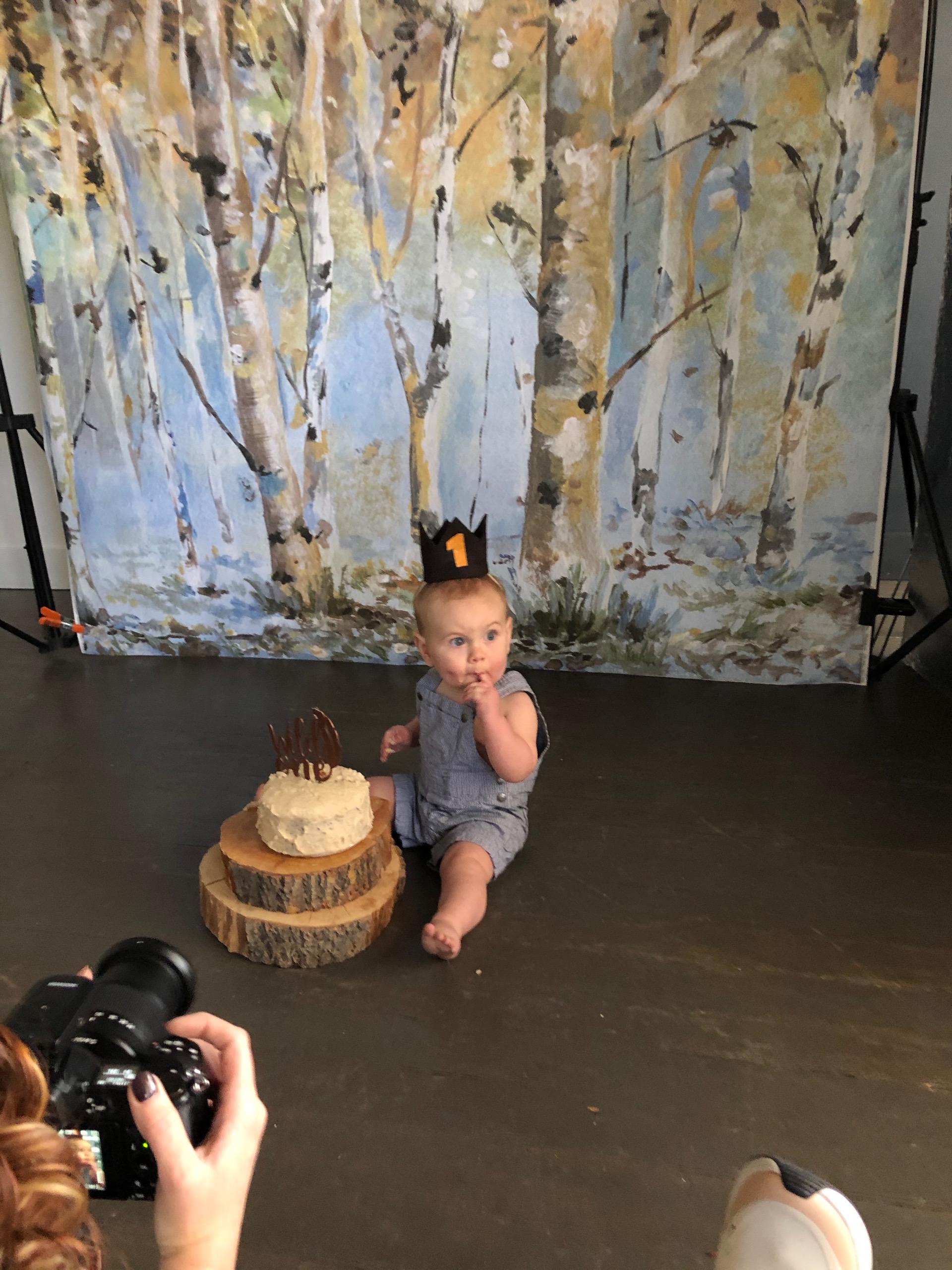
Cake smash photos. Can’t wait to see the finals. I think they’re going to be awesome.
Love you bud!
Timpanogos
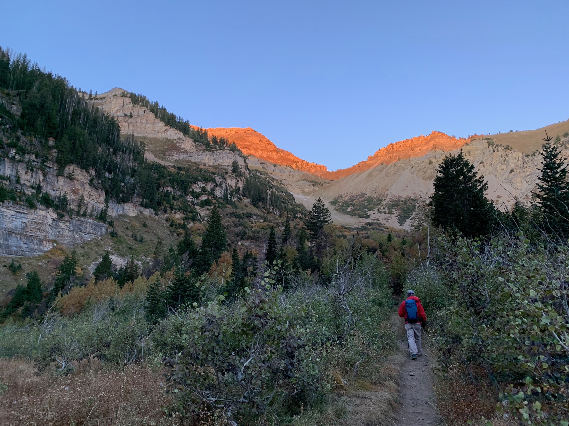
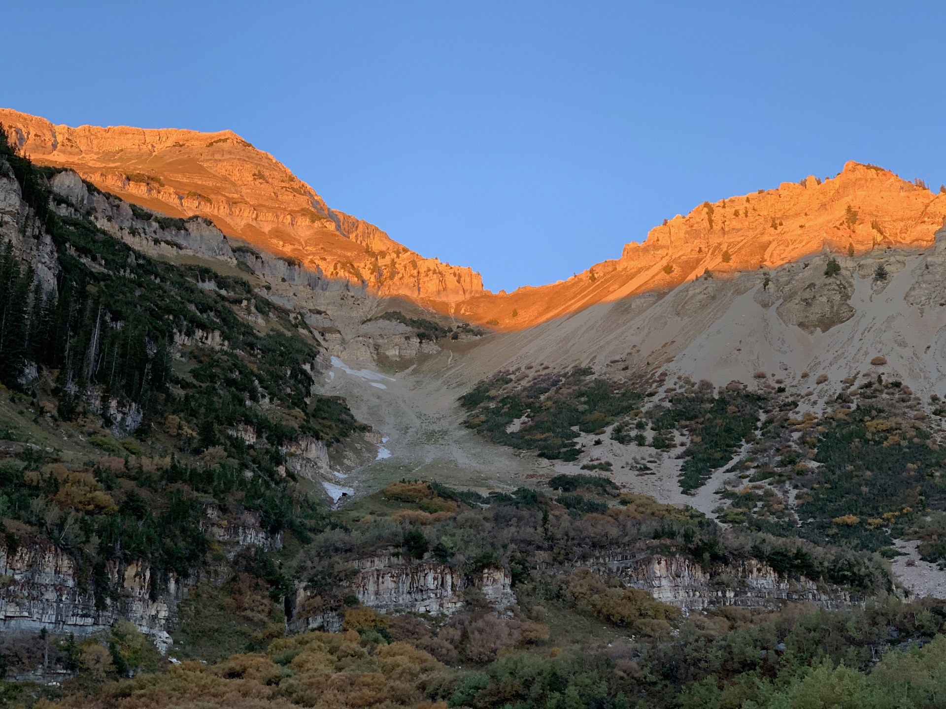
Timpanogos…the final movement of this hiking season. My friend Chris and I set out to hike Timpanogos, on was was likely the last really nice weekend of the year. He’s done it a number of times, but this was my first. It’s been a bit of a bucket list item, and was the last hike I really wanted to do this year.
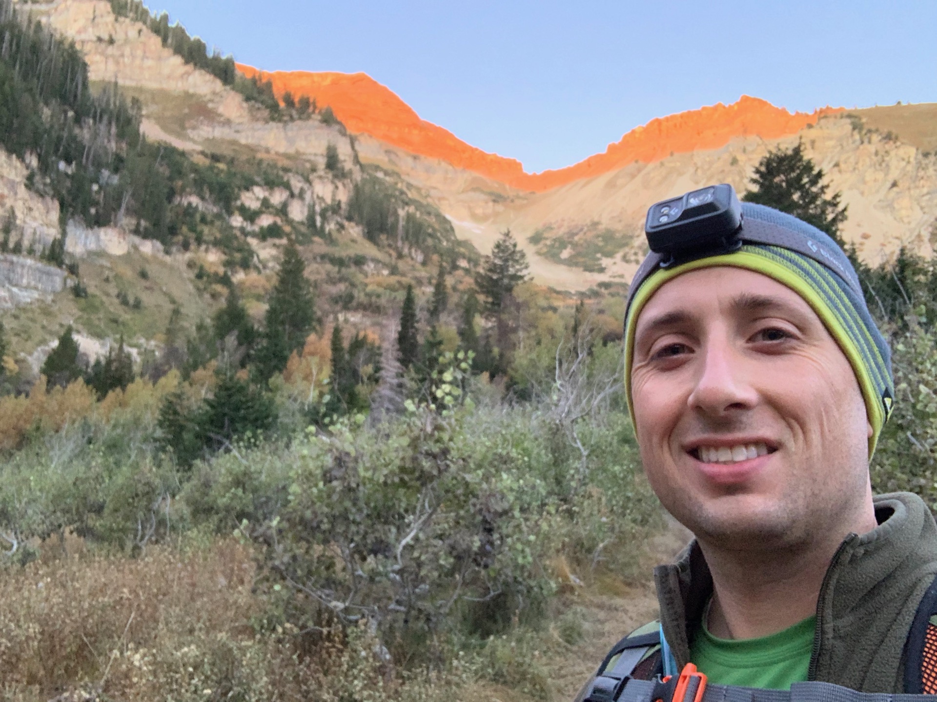
We were on the trail a little before dawn. I really do enjoy the pre dawn hours. The stars are so clear and it’s so peaceful. It was, however, a bit nippy! The other fun part of being up pre dawn is that you get to watch the sunrise. I absolutely love the early dawn moments when the sunlight first hits the mountain tops and they glow a special orange color in contrast with the shaded areas. Then as you’re hiking along, all of the sudden you burst into the sunlight and feel its warmth, and you quickly shed some layers.
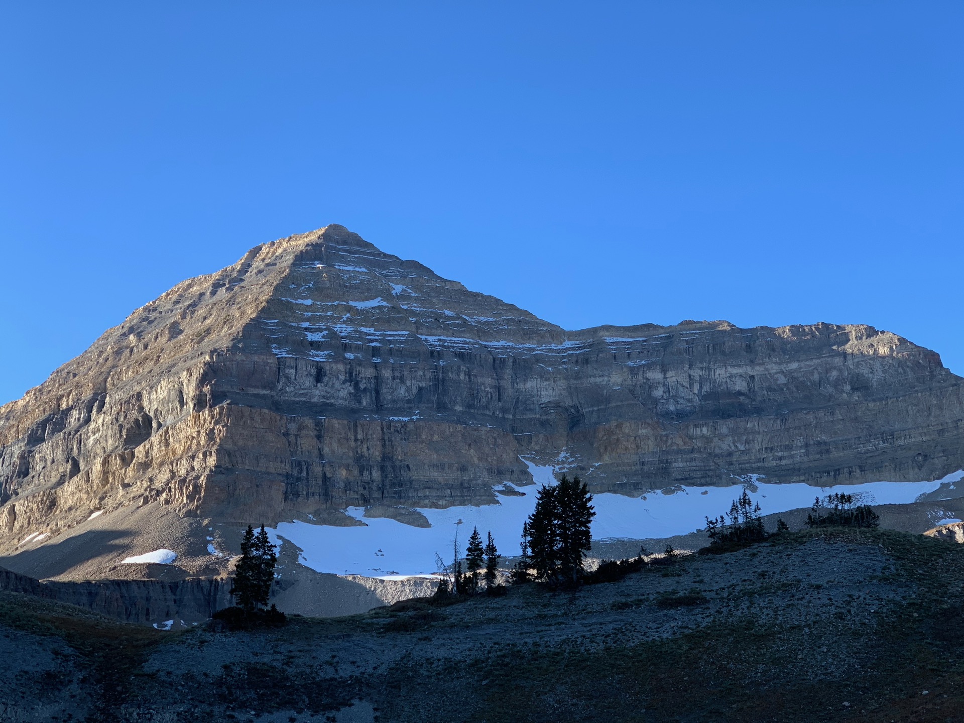
Mount Timpanogos from the backside. We’re getting close.
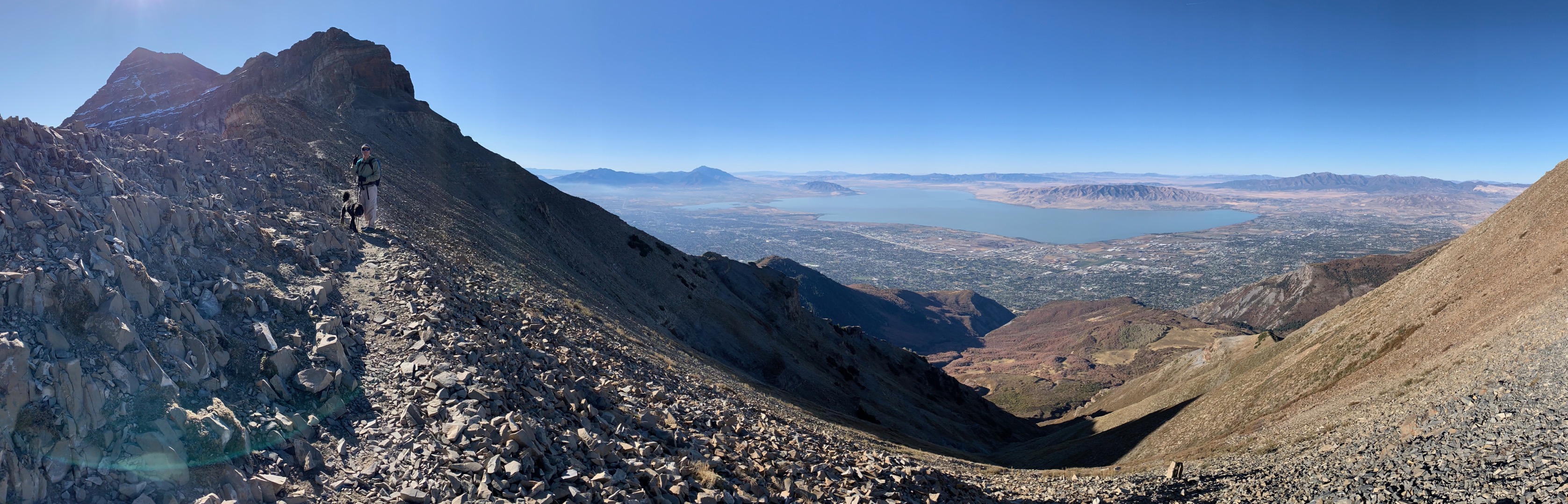
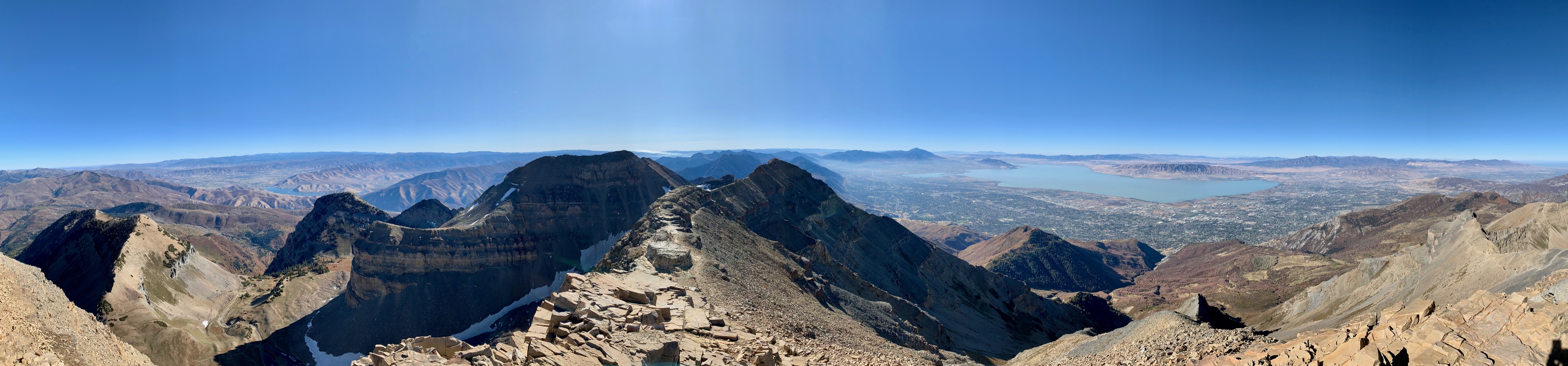
The saddle. It was an incredibly beautiful day. Hardly any wind, and a very pleasant temperature.
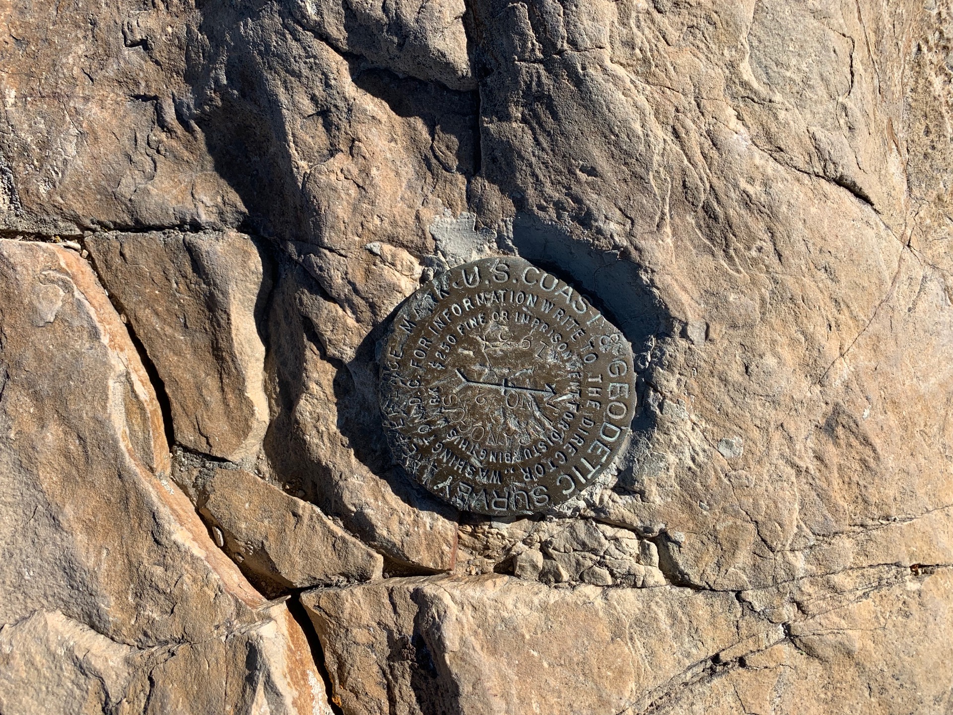
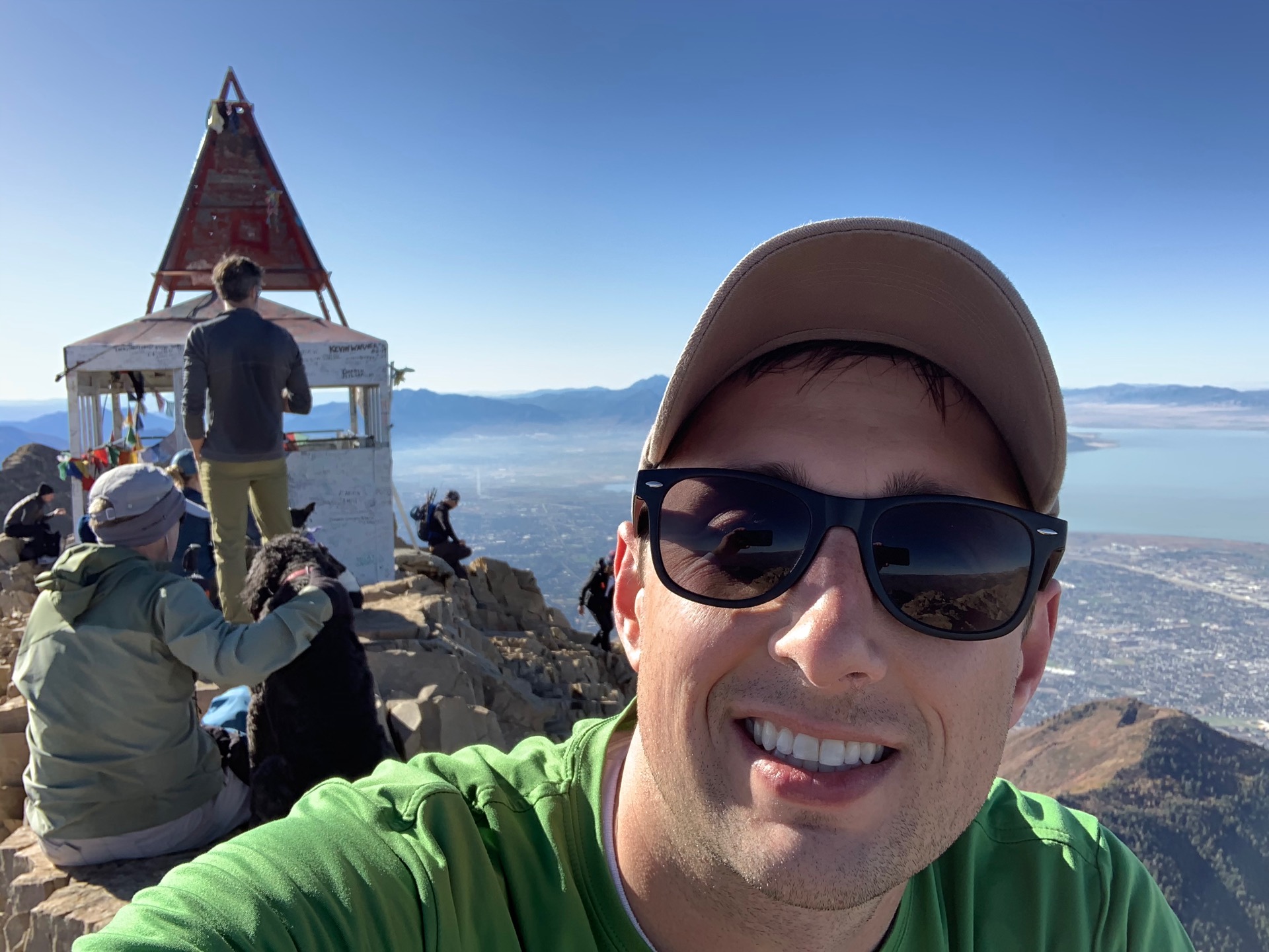
The summit! 11,752′.
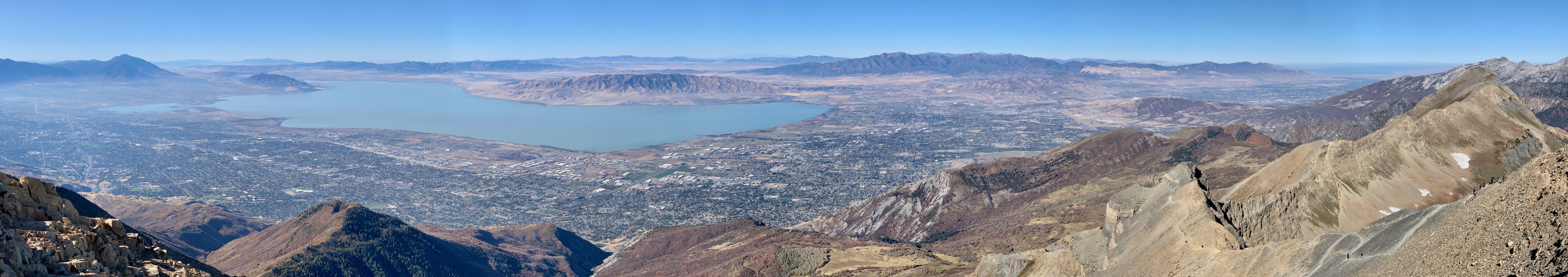
Amazing views from the top. I love looking up at the mountain and knowing that I was there at the very top.
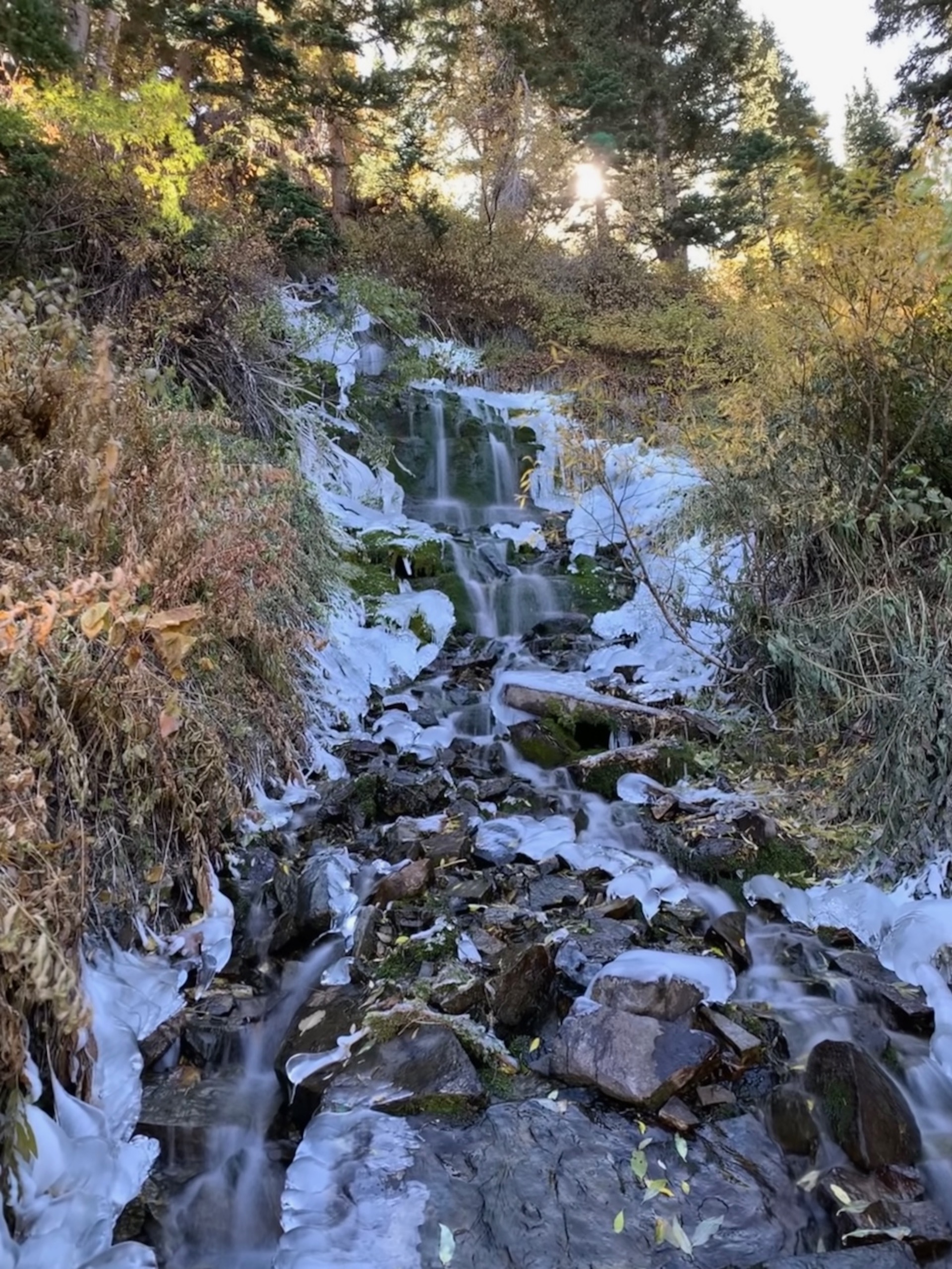
Partially frozen stream on the way back down.
All told, we made the hike in 7.5 hours, with a half hour break on the top. A good time, all around.